UN/LOCODE hub · Denmark
DKHJ3

Højby

55.3333°, 10.4500°
2
Transport functions

Transport Functions

Port
Road
UN/LOCODE

Hub Profile

Region
85
GeoNames

Location

Location of DKHJ3
Natural Earth 10m (public domain) · 85 · DKHJ3 · 55.33, 10.45GoogleOSMYandex

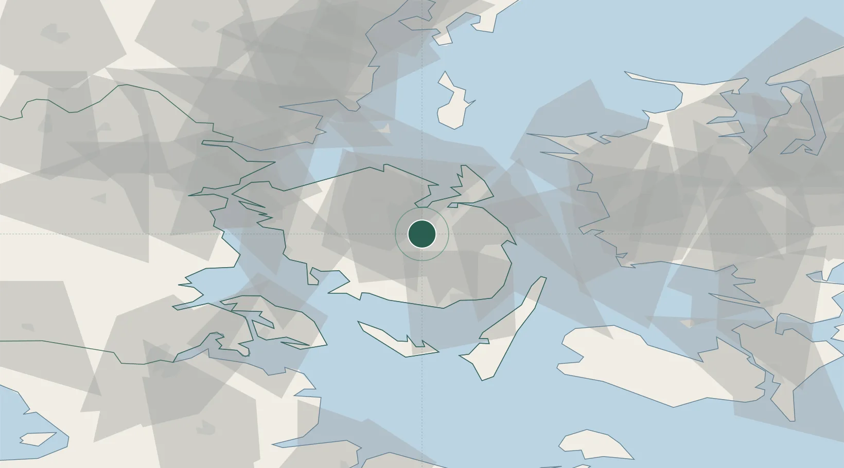
Nearby Logistics Neighbours

Cities
  1. 1Birkum4 km
  2. 2Årslev4 km
  3. 3Ferritslev9 km
  4. 4Ryslinge11 km
  5. 5Klintebjerg17 km
Nearest neighbours — logibook spatial index (haversine) over the source coordinates
Ports
  1. 1Odense10 km
  2. 2Kerteminde19 km
  3. 3Nyborg22 km
  4. 4Faborg29 km
  5. 5Svendborg32 km
Nearest neighbours — logibook spatial index (haversine) over the source coordinates
Airports
  1. 1Odense Hans Christian Andersen Airport18 km
  2. 2Sydfyn (Tasinge) Airfield36 km
  3. 3Ærø Airfield53 km
  4. 4Sønderborg Airport59 km
  5. 5Kolding Vamdrup Airfield72 km
Nearest neighbours — logibook spatial index (haversine) over the source coordinates
Trade Zones
  1. 1Freeport of Kiel113 km
  2. 2Freeport of Copenhagen- Nordhavn142 km
  3. 3MTS Malmö Transport and Spedition169 km
  4. 4Freeport of Cuxhaven (Freihafen Cuxhaven)207 km
  5. 5Freeport of Bremerhaven (Freihafen Bremerhaven)272 km
Nearest neighbours — logibook spatial index (haversine) over the source coordinates
DatabookThe Record of Consolidated Knowledge
Denmark beyond logistics?
Browse databook

All Sources

LocationsUN/LOCODE
UN/LOCODE — free
Portsthe NGA World Port Index
Public domain (US gov)
AirportsOurAirports
Public domain
Trade Zonesthe World Bank SEZ database
CC BY 4.0
Trade ZonesOpen Zone Map
CC BY
← Denmark locations