Transport Functions
Rail
Road
Hub Profile
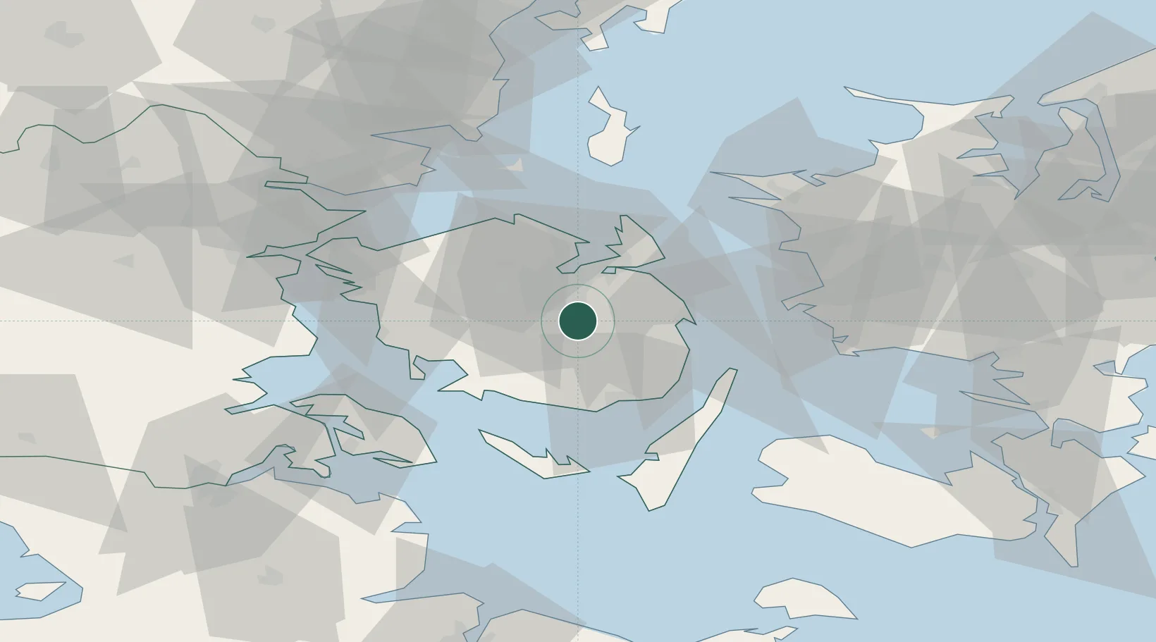
Place type
Populated place
Region
South Denmark
Population
4,193
Time zone
Europe/Copenhagen
Elevation
49 m
Location
Nearby Logistics Neighbours
Cities
- 1Højby4 km
- 2Birkum4 km
- 3Ferritslev6 km
- 4Ryslinge7 km
- 5Brobyvark17 km
Ports
- 1Odense14 km
- 2Nyborg20 km
- 3Kerteminde20 km
- 4Faborg27 km
- 5Svendborg27 km
Airports
- 1Odense Hans Christian Andersen Airport22 km
- 2Sydfyn (Tasinge) Airfield32 km
- 3Ærø Airfield50 km
- 4Sønderborg Airport58 km
- 5Kolding Vamdrup Airfield74 km
Trade Zones
DatabookThe Record of Consolidated Knowledge
Denmark beyond logistics?