Transport Functions
Port
Road
Hub Profile
Place type
Populated place
Region
South Denmark
Time zone
Europe/Copenhagen
Elevation
3 m
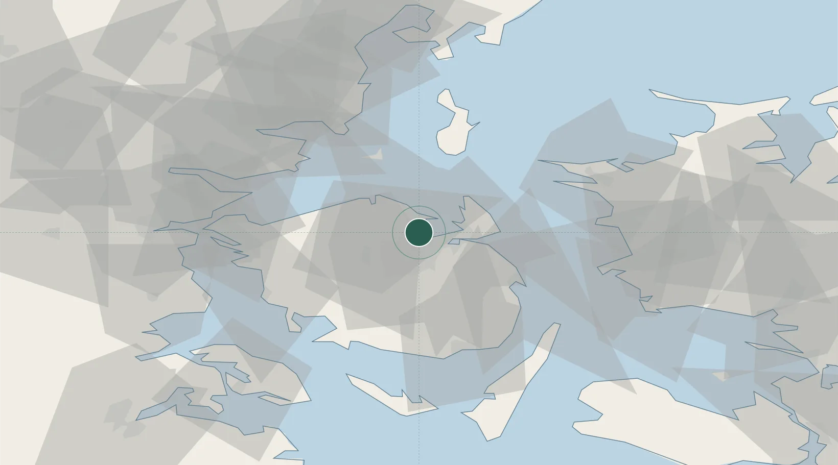
Location
Nearby Logistics Neighbours
Cities
- 1Højby17 km
- 2Birkum17 km
- 3Årslev21 km
- 4Ferritslev22 km
- 5Bogense25 km
Ports
- 1Odense9 km
- 2Kerteminde14 km
- 3Nyborg29 km
- 4Assens43 km
- 5Fredericia44 km
Airports
Trade Zones
DatabookThe Record of Consolidated Knowledge
Denmark beyond logistics?