About
Methodology
Sources
Licensing
English
EN
English
TR
Türkçe
DE
Deutsch
FR
Français
ES
Español
IT
Italiano
PT
Português
NL
Nederlands
PL
Polski
RU
Русский
UK
Українська
CS
Čeština
RO
Română
EL
Ελληνικά
BG
Български
AR
العربية
FA
فارسی
UR
اردو
HI
हिन्दी
BN
বাংলা
ID
Bahasa Indonesia
VI
Tiếng Việt
ZH
中文
JA
日本語
KO
한국어
logibook
/
Countries
/
Denmark
/
Locations
/
Åro
UN/LOCODE hub ·
Denmark
DK
ARO
Åro
55.2667°, 9.7500°
1
Transport functions
Transport Functions
Port
UN/LOCODE
Hub Profile
Place type
Populated place
GeoNames
Region
South Denmark
GeoNames
Time zone
Europe/Copenhagen
GeoNames
Elevation
6 m
GeoNames
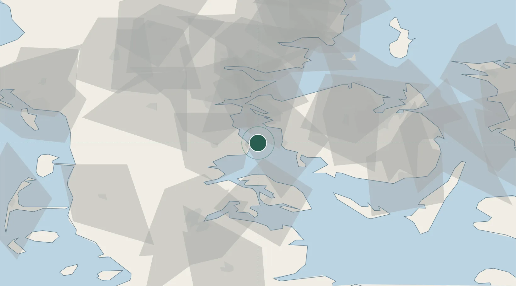
Location
Natural Earth 10m (public domain) · South Denmark · DKARO · 55.27, 9.75
Google ↗
OSM ↗
Yandex ↗
Nearby Logistics Neighbours
Cities
1
Årosund
3 km
2
Ebberup
14 km
3
Hejls
16 km
4
Søllested
19 km
5
Bøjden
28 km
Nearest neighbours — logibook spatial index (haversine) over the source coordinates
Ports
1
Assens
8 km
2
Haderslev
16 km
3
Middelfart
26 km
4
Kolding
29 km
5
Skaerbaek
29 km
Nearest neighbours — logibook spatial index (haversine) over the source coordinates
Airports
1
Skrydstrup Air Base
31 km
2
Kolding Vamdrup Airfield
33 km
3
Sønderborg Airport
34 km
4
Odense Hans Christian Andersen Airport
43 km
5
Sydfyn (Tasinge) Airfield
59 km
Nearest neighbours — logibook spatial index (haversine) over the source coordinates
Trade Zones
1
Freeport of Kiel
107 km
2
Freeport of Cuxhaven (Freihafen Cuxhaven)
178 km
3
Freeport of Copenhagen- Nordhavn
186 km
4
MTS Malmö Transport and Spedition
214 km
5
Freeport of Bremerhaven (Freihafen Bremerhaven)
250 km
Nearest neighbours — logibook spatial index (haversine) over the source coordinates
Data
book
The Record of Consolidated Knowledge
Denmark beyond logistics?
Browse databook
→
All Sources
Locations
UN/LOCODE
UN/LOCODE — free
↗
Ports
the NGA World Port Index
Public domain (US gov)
↗
Airports
OurAirports
Public domain
↗
Trade Zones
the World Bank SEZ database
CC BY 4.0
↗
Trade Zones
Open Zone Map
CC BY
↗
← Denmark locations