Transport Functions
Road
Multimodal
Hub Profile
Place type
Populated place
Region
Zealand
Time zone
Europe/Copenhagen
Elevation
46 m
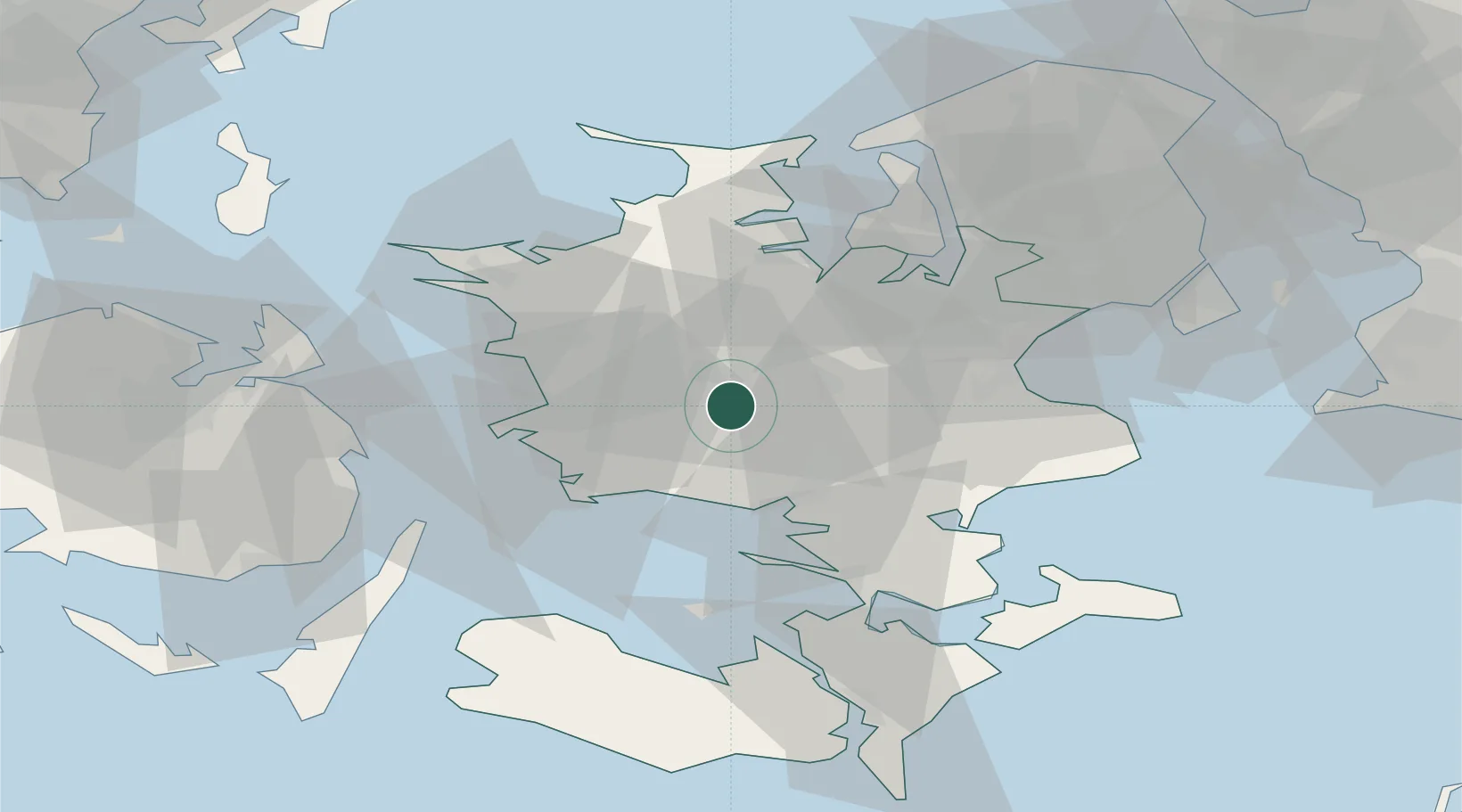
Location
Nearby Logistics Neighbours
Cities
- 1Dianalund15 km
- 2Sandved15 km
- 3Dalmose17 km
- 4Store Merløse18 km
- 5Sønder Bjert21 km
Ports
- 1Naestved21 km
- 2Skaelskor25 km
- 3Korsor30 km
- 4Gulfhaven31 km
- 5Stigsnaesvaerkets Havn31 km
Airports
- 1Ringsted Airfield13 km
- 2Copenhagen Roskilde Airport39 km
- 3København Vandflyveplads71 km
- 4Copenhagen Kastrup Airport71 km
- 5Sydfyn (Tasinge) Airfield78 km
Trade Zones
DatabookThe Record of Consolidated Knowledge
Denmark beyond logistics?