Transport Functions
Port
Road
Hub Profile
Place type
Populated place
Region
Brandenburg
Time zone
Europe/Berlin
Elevation
35 m
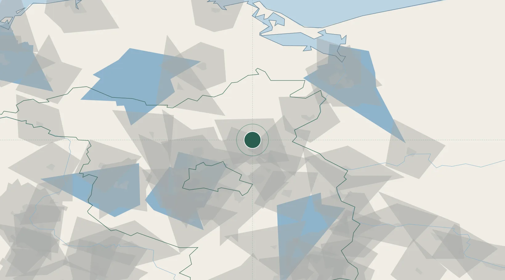
Location
Nearby Logistics Neighbours
Cities
- 1Eberswalde7 km
- 2Biesenthal14 km
- 3Gross Ziethen15 km
- 4Bralitz17 km
- 5Bad Freienwalde21 km
Ports
- 1Szczecin81 km
- 2Police95 km
- 3Swinoujscie122 km
- 4Wolgast132 km
- 5Stralsund167 km
Airports
Trade Zones
- 1Kostrzyń-Słubice SEZ67 km
- 2Szczecin Duty Free Zone83 km
- 3Swinoujscie Duty Free Zone120 km
- 4Legnica SEZ (Legnicka SSE)231 km
- 5Most - Joseph Industrial Zone265 km
DatabookThe Record of Consolidated Knowledge
Germany beyond logistics?