UN/LOCODE hub · Costa Rica
CRZAR

Zarcero / Naranjo

10.1833°, -84.4000°
2
Transport functions

Transport Functions

Port
Multimodal
UN/LOCODE

Hub Profile

Region
A
GeoNames

Location

Location of CRZAR
Natural Earth 10m (public domain) · A · CRZAR · 10.18, -84.40GoogleOSMYandex

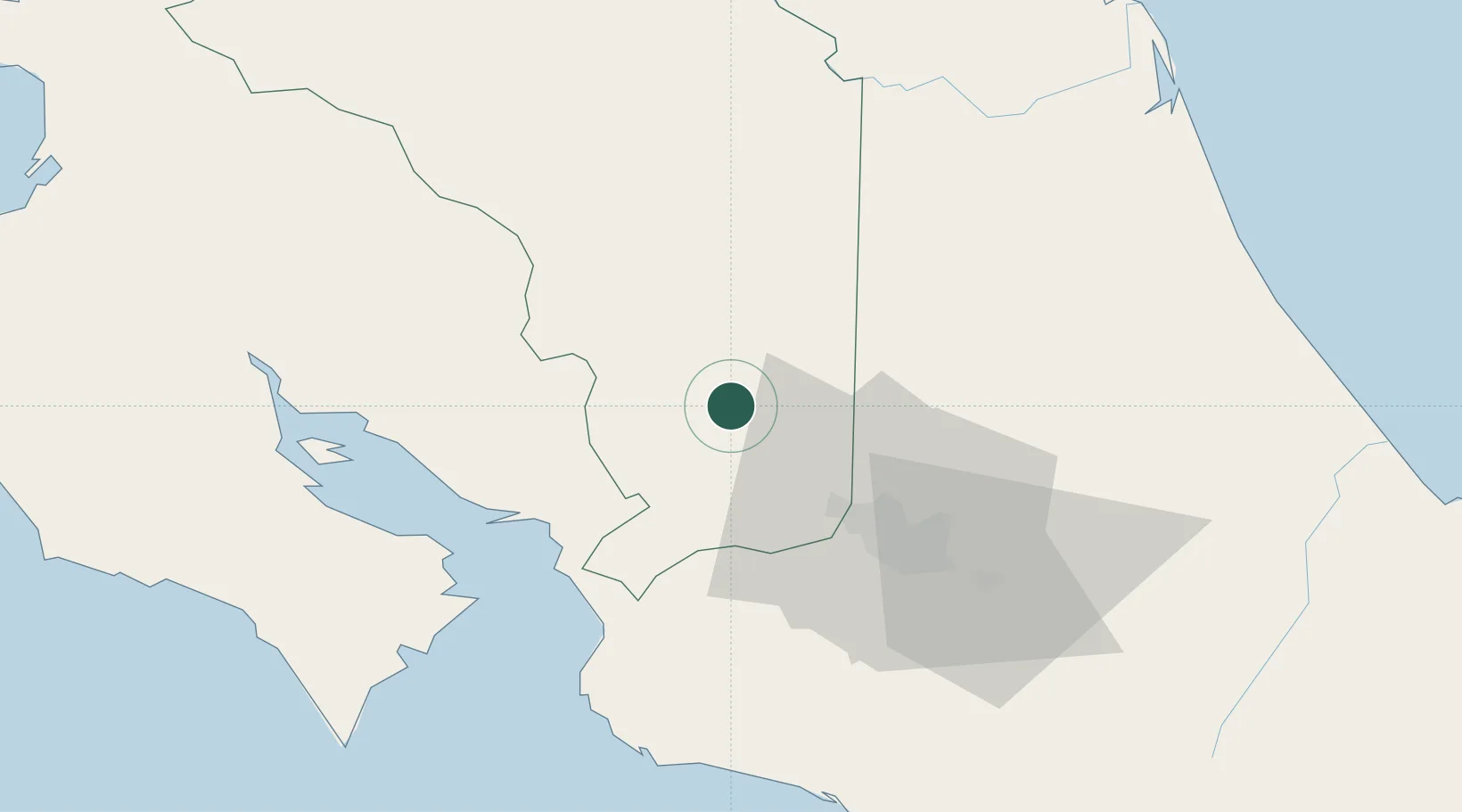
Nearby Logistics Neighbours

Cities
  1. 1Barranca4 km
  2. 2Naranjo9 km
  3. 3Sarchí12 km
  4. 4Palmares15 km
  5. 5Poas18 km
Nearest neighbours — logibook spatial index (haversine) over the source coordinates
Ports
  1. 1Puerto Caldera46 km
  2. 2Puntarenas52 km
  3. 3Puerto Quepos87 km
  4. 4Puerto Moin146 km
  5. 5Puerto Limon153 km
Nearest neighbours — logibook spatial index (haversine) over the source coordinates
Airports
  1. 1Juan Santamaría International Airport30 km
  2. 2La Fortuna Arenal Airport37 km
  3. 3Tobías Bolaños International Airport38 km
  4. 4Guapiles Airport66 km
  5. 5Quepos Managua Airport88 km
Nearest neighbours — logibook spatial index (haversine) over the source coordinates
Trade Zones
  1. 1AAA Top Talent Free Trade Zone14 km
  2. 2Activa Industrial Park16 km
  3. 3Coyol Free Zone25 km
  4. 4Zona Franca BES (BES Free Zone)26 km
  5. 5Greenpark27 km
Nearest neighbours — logibook spatial index (haversine) over the source coordinates
DatabookThe Record of Consolidated Knowledge
Costa Rica beyond logistics?
Browse databook

All Sources

LocationsUN/LOCODE
UN/LOCODE — free
Portsthe NGA World Port Index
Public domain (US gov)
AirportsOurAirports
Public domain
Trade Zonesthe World Bank SEZ database
CC BY 4.0
Trade ZonesOpen Zone Map
CC BY
← Costa Rica locations