UN/LOCODE hub · Costa Rica
CRLLA

Limon Via Turrialba

10.1667°, -83.6167°
1
Transport functions

Transport Functions

Multimodal
UN/LOCODE

Hub Profile

Region
L
GeoNames

Location

Location of CRLLA
Natural Earth 10m (public domain) · L · CRLLA · 10.17, -83.62GoogleOSMYandex

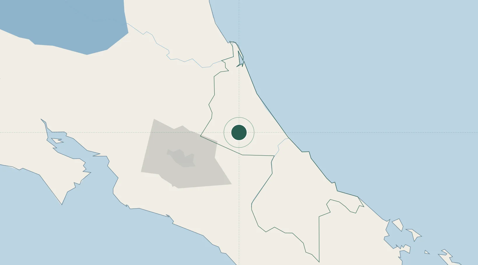
Nearby Logistics Neighbours

Cities
  1. 1Francia8 km
  2. 2Rio Jimenez9 km
  3. 3Siquirres13 km
  4. 4Villa Franca15 km
  5. 5Roxana18 km
Nearest neighbours — logibook spatial index (haversine) over the source coordinates
Ports
  1. 1Puerto Moin61 km
  2. 2Puerto Limon69 km
  3. 3Puerto Quepos101 km
  4. 4Puerto Caldera124 km
  5. 5Puntarenas135 km
Nearest neighbours — logibook spatial index (haversine) over the source coordinates
Airports
  1. 1Guapiles Airport21 km
  2. 2Aerotortuguero Airport28 km
  3. 3Tobías Bolaños International Airport62 km
  4. 4Barra del Colorado Airport67 km
  5. 5Juan Santamaría International Airport68 km
Nearest neighbours — logibook spatial index (haversine) over the source coordinates
Trade Zones
  1. 1FreeHold Free Zone17 km
  2. 2Lima Free Zone and Business Park50 km
  3. 3Zeta Free Zone Catargo50 km
  4. 4El Roble Industrial Logistics Zone (RILZ)55 km
  5. 5Parque Empresarial Del Este56 km
Nearest neighbours — logibook spatial index (haversine) over the source coordinates
DatabookThe Record of Consolidated Knowledge
Costa Rica beyond logistics?
Browse databook

All Sources

LocationsUN/LOCODE
UN/LOCODE — free
Portsthe NGA World Port Index
Public domain (US gov)
AirportsOurAirports
Public domain
Trade Zonesthe World Bank SEZ database
CC BY 4.0
Trade ZonesOpen Zone Map
CC BY
← Costa Rica locations