Transport Functions
Port
Multimodal
Hub Profile
Place type
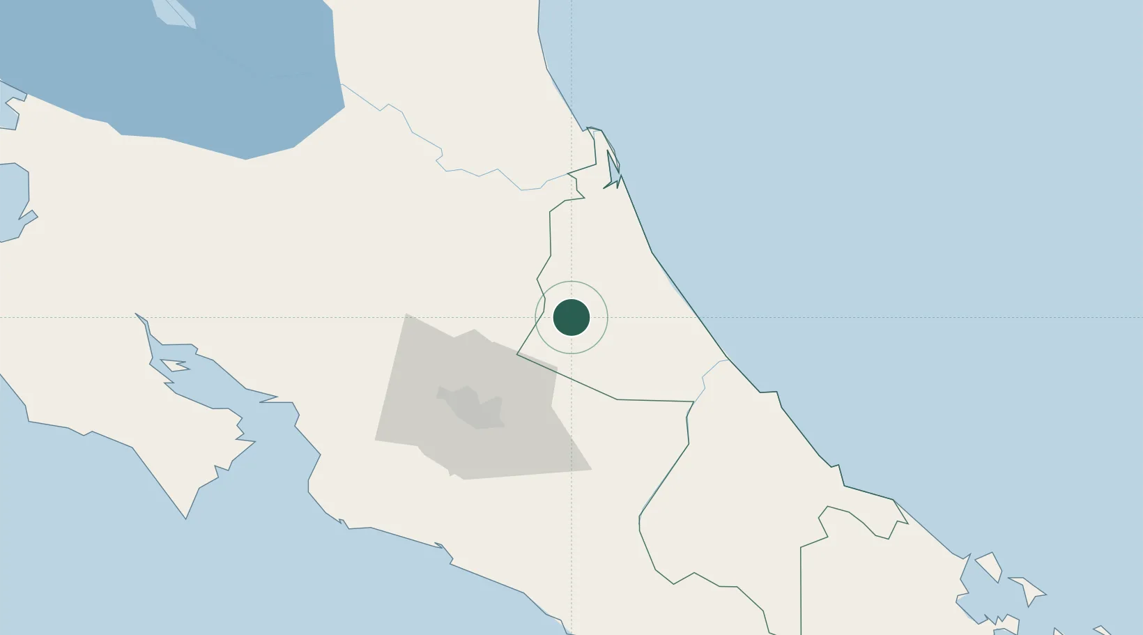
Populated place
Region
Limón Province
Population
2,351
Time zone
America/Costa_Rica
Elevation
118 m
Location
Nearby Logistics Neighbours
Cities
- 1Rio Jimenez17 km
- 2Villa Franca17 km
- 3Limon Via Turrialba18 km
- 4Francia26 km
- 5Siquirres32 km
Ports
- 1Puerto Moin79 km
- 2Puerto Limon86 km
- 3Puerto Quepos103 km
- 4Puerto Caldera113 km
- 5Puntarenas123 km
Airports
Trade Zones
DatabookThe Record of Consolidated Knowledge
Costa Rica beyond logistics?