Transport Functions
Multimodal
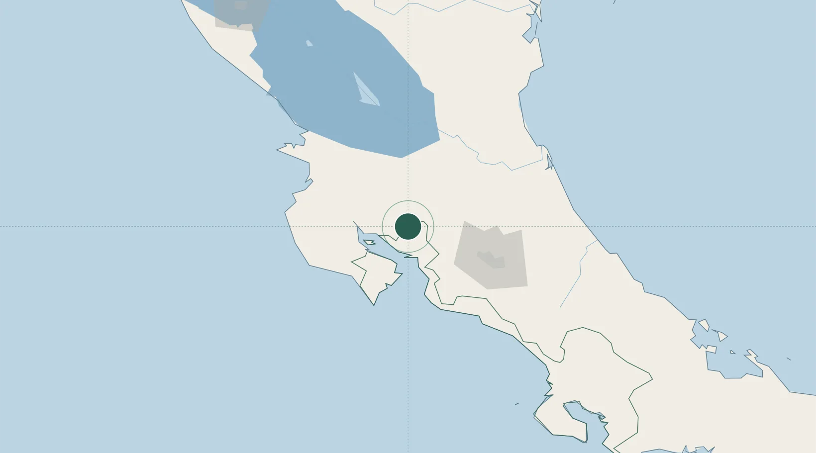
Hub Profile
Place type
Populated place
Region
Puntarenas Province
Time zone
America/Costa_Rica
Elevation
760 m
Location
Nearby Logistics Neighbours
Cities
- 1Abangares16 km
- 2Chomes23 km
- 3Punta Morales25 km
- 4Santa Rosa/Pocosol26 km
- 5Quebrada Grande27 km
Ports
- 1Puntarenas28 km
- 2Puerto Caldera37 km
- 3Puerto Quepos114 km
- 4Puerto Moin192 km
- 5Puerto Limon199 km
Airports
Trade Zones
- 1Zona Franca Puntarenas, SA30 km
- 2Puntarenas Free Trade Zone40 km
- 3Activa Industrial Park56 km
- 4AAA Top Talent Free Trade Zone56 km
- 5Coyol Free Zone65 km
DatabookThe Record of Consolidated Knowledge
Costa Rica beyond logistics?