Transport Functions
Port
Hub Profile
Region
P
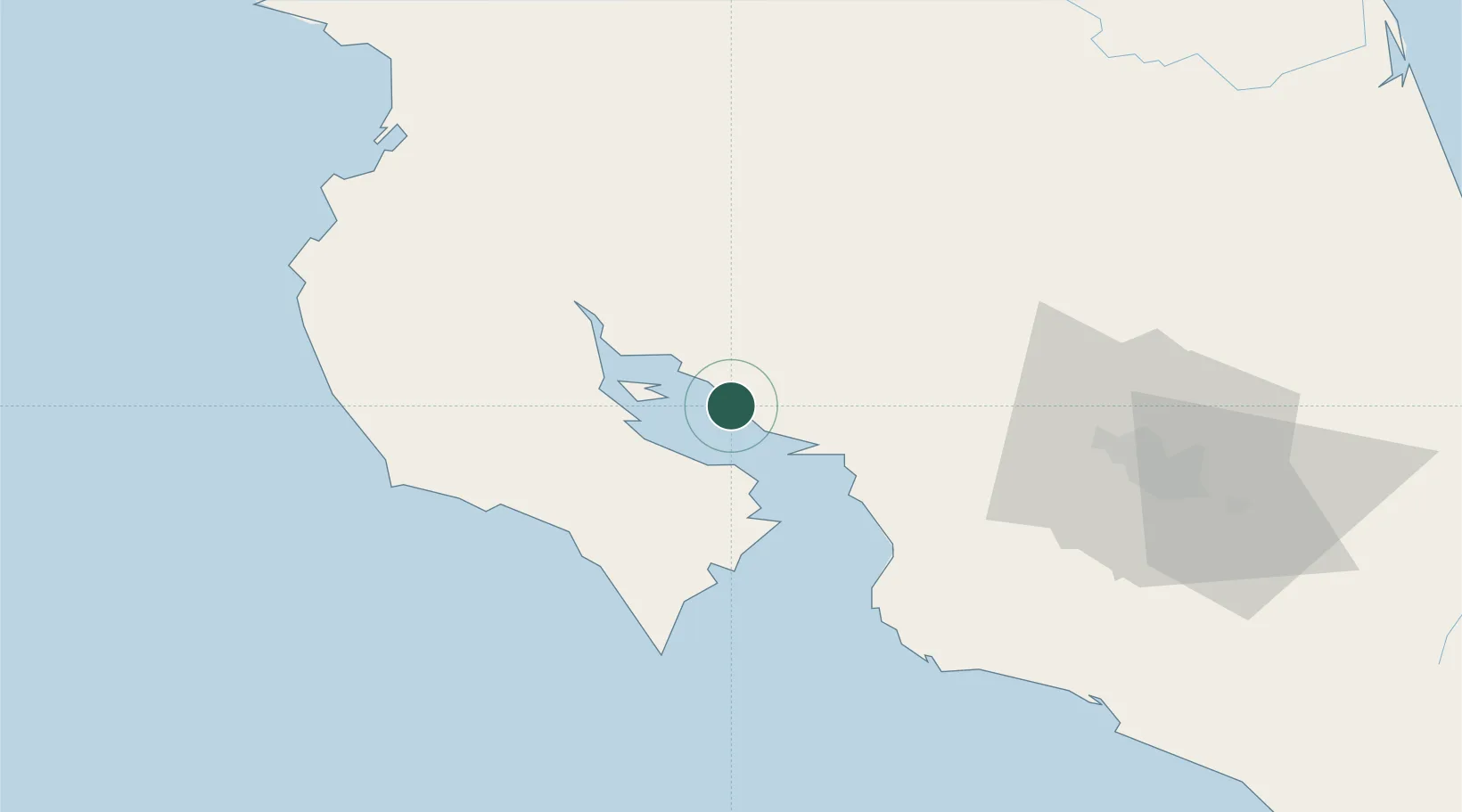
Location
Nearby Logistics Neighbours
Cities
- 1Chomes6 km
- 2Cabo Blanco15 km
- 3Puntarenas18 km
- 4Jicaral20 km
- 5Abangares24 km
Ports
- 1Puntarenas17 km
- 2Puerto Caldera32 km
- 3Puerto Quepos113 km
- 4Puerto Moin206 km
- 5Puerto Limon214 km
Airports
Trade Zones
- 1Zona Franca Puntarenas, SA29 km
- 2Puntarenas Free Trade Zone37 km
- 3Activa Industrial Park69 km
- 4AAA Top Talent Free Trade Zone70 km
- 5Coyol Free Zone76 km
DatabookThe Record of Consolidated Knowledge
Costa Rica beyond logistics?