UN/LOCODE hub · Costa Rica
CRJIC

Jicaral

9.9667°, -85.1167°
2
Transport functions

Transport Functions

Port
Road
UN/LOCODE

Hub Profile

Place type
Populated place
GeoNames
Region
Puntarenas Province
GeoNames
Time zone
America/Costa_Rica
GeoNames
Elevation
14 m
GeoNames

Location

Location of CRJIC
Natural Earth 10m (public domain) · Puntarenas Province · CRJIC · 9.97, -85.12GoogleOSMYandex

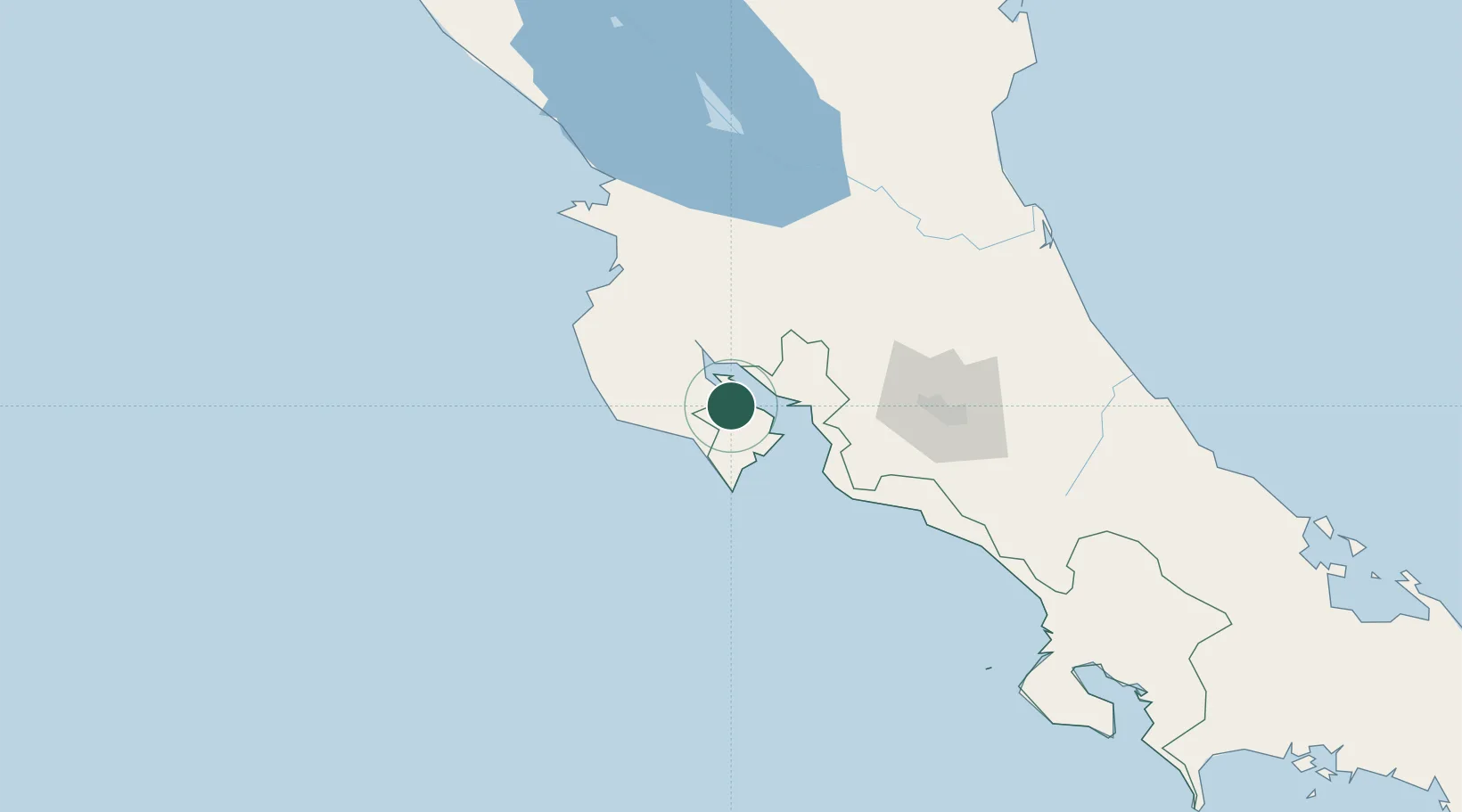
Nearby Logistics Neighbours

Cities
  1. 1La Tigra5 km
  2. 2Tres Ríos10 km
  3. 3Pavones12 km
  4. 4Nandayure12 km
  5. 5Cabo Blanco13 km
Nearest neighbours — logibook spatial index (haversine) over the source coordinates
Ports
  1. 1Puntarenas31 km
  2. 2Puerto Caldera44 km
  3. 3Puerto Quepos120 km
  4. 4Puerto Moin223 km
  5. 5Puerto Limon230 km
Nearest neighbours — logibook spatial index (haversine) over the source coordinates
Airports
  1. 1Nosara Airport59 km
  2. 2La Fortuna Arenal Airport81 km
  3. 3Daniel Oduber Quirós International Airport84 km
  4. 4Juan Santamaría International Airport100 km
  5. 5Upala Airport104 km
Nearest neighbours — logibook spatial index (haversine) over the source coordinates
Trade Zones
  1. 1Zona Franca Puntarenas, SA43 km
  2. 2Puntarenas Free Trade Zone50 km
  3. 3Activa Industrial Park86 km
  4. 4AAA Top Talent Free Trade Zone87 km
  5. 5Coyol Free Zone92 km
Nearest neighbours — logibook spatial index (haversine) over the source coordinates
DatabookThe Record of Consolidated Knowledge
Costa Rica beyond logistics?
Browse databook

All Sources

LocationsUN/LOCODE
UN/LOCODE — free
Portsthe NGA World Port Index
Public domain (US gov)
AirportsOurAirports
Public domain
Trade Zonesthe World Bank SEZ database
CC BY 4.0
Trade ZonesOpen Zone Map
CC BY
← Costa Rica locations