Transport Functions
Port
Road
Multimodal
Hub Profile
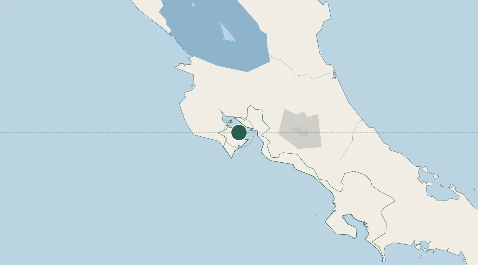
Place type
Populated place
Region
Puntarenas Province
Time zone
America/Costa_Rica
Elevation
12 m
Location
Nearby Logistics Neighbours
Cities
- 1Jicaral13 km
- 2Paquera15 km
- 3Punta Morales15 km
- 4Chomes16 km
- 5La Tigra16 km
Ports
- 1Puntarenas19 km
- 2Puerto Caldera31 km
- 3Puerto Quepos107 km
- 4Puerto Moin210 km
- 5Puerto Limon217 km
Airports
Trade Zones
- 1Zona Franca Puntarenas, SA31 km
- 2Puntarenas Free Trade Zone37 km
- 3Activa Industrial Park73 km
- 4AAA Top Talent Free Trade Zone75 km
- 5Coyol Free Zone79 km
DatabookThe Record of Consolidated Knowledge
Costa Rica beyond logistics?