Diversified Zone · China

Dongtai Economic Development Zone Active
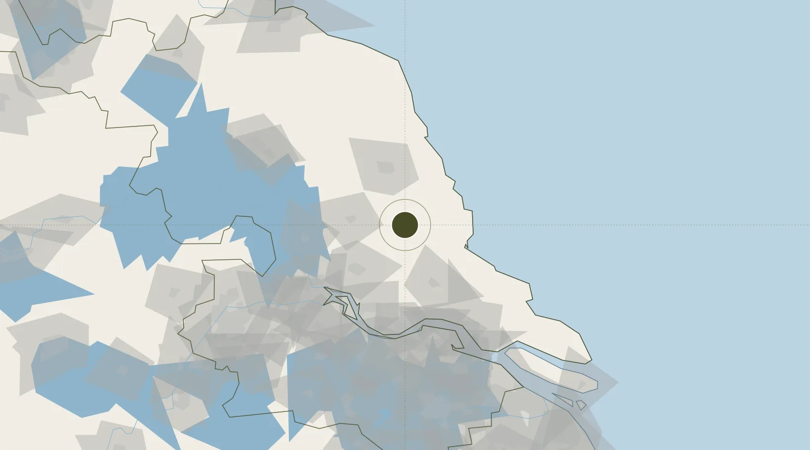
32.8926°, 120.3150°
3,450 ha
Zone area
80.5 km
Nearest port
60.4 km
Nearest airport

Gateway access

Nearest neighbours — logibook spatial index (haversine) over the source coordinates

Zone profile

Zone type
Diversified Zone
Open Zone Map
Region
Jiangsu
Open Zone Map
Status
Active
Open Zone Map
Management
Public
Open Zone Map
Operator
Dongtai Economic Development Zone Management committee
Open Zone Map
Legal framework
Founded in 2002, 2006 was officially approved as a provincial development zone
Open Zone Map

Location

Location of ozm-902
Natural Earth 10m (public domain) · Jiangsu · ozm-902 · 32.89, 120.31GoogleOSMYandex

Nearby Logistics Neighbours

Ports
  1. 1Gaogang81 km
  2. 2Zhangjiangang103 km
  3. 3Changzhou108 km
  4. 4Yangzhou108 km
  5. 5Jiangyin109 km
Nearest neighbours — logibook spatial index (haversine) over the source coordinates
Airports
  1. 1Yancheng Nanyang International Airport60 km
  2. 2Yangzhou Taizhou Airport67 km
  3. 3Rugao Air Base73 km
  4. 4Nantong Xingdong International Airport110 km
  5. 5Changzhou Benniu International Airport119 km
Nearest neighbours — logibook spatial index (haversine) over the source coordinates
Cities
  1. 1Jiangyan47 km
  2. 2Taizhou58 km
  3. 3Dafeng62 km
  4. 4Yichang Pt64 km
  5. 5Gaogang79 km
Nearest neighbours — logibook spatial index (haversine) over the source coordinates
DatabookThe Record of Consolidated Knowledge
China beyond logistics?
Browse databook

All Sources

Trade ZonesOpen Zone Map
CC BY
Portsthe NGA World Port Index
Public domain (US gov)
AirportsOurAirports
Public domain
LocationsUN/LOCODE
UN/LOCODE — free
← China trade zones