Transport Functions
Port
Rail
Road
Hub Profile
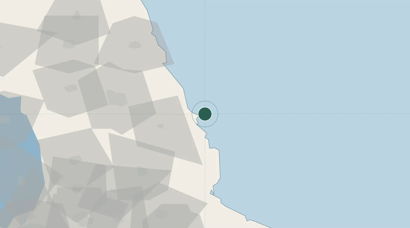
Place type
Populated place
Region
Jiangsu
Time zone
Asia/Shanghai
Elevation
8 m
Logistics facilities
5
Container terminals
1
Location
Nearby Logistics Neighbours
Cities
- 1Yichang Pt67 km
- 2Sheyang74 km
- 3Sanya Pt75 km
- 4Yangkou Pt99 km
- 5Jiangyan106 km
Ports
- 1Gaogang142 km
- 2Nantong142 km
- 3Zhangjiangang151 km
- 4Jiangyin160 km
- 5Changzhou165 km
Airports
DatabookThe Record of Consolidated Knowledge
China beyond logistics?