Transport Functions
Port
Multimodal
Hub Profile
Place type
Local administrative seat
Region
Shanghai
Time zone
Asia/Shanghai
Elevation
8 m
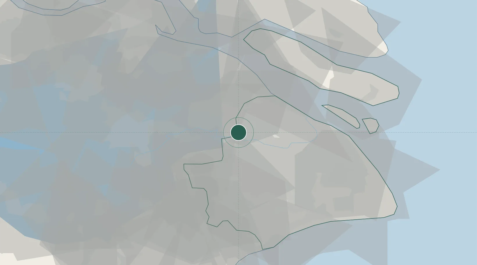
Location
Nearby Logistics Neighbours
Cities
- 1Jiading12 km
- 2Kunshan17 km
- 3Songjiang33 km
- 4Pudong/Shanghai34 km
- 5Baoshan Pt34 km
Airports
Trade Zones
DatabookThe Record of Consolidated Knowledge
China beyond logistics?