UN/LOCODE hub · China
CNBSD

Baoshan Pt

31.4167°, 121.4833°
1
Transport functions

Transport Functions

Port
UN/LOCODE

Hub Profile

Region
SH
GeoNames
Logistics facilities
1
UN/LOCODE

Location

Location of CNBSD
Natural Earth 10m (public domain) · SH · CNBSD · 31.42, 121.48GoogleOSMYandex

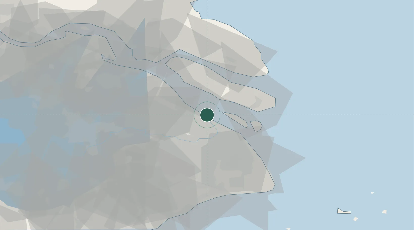
Nearby Logistics Neighbours

Cities
  1. 1Pudong/Shanghai20 km
  2. 2Jinqiao22 km
  3. 3Jiading24 km
  4. 4Anting34 km
  5. 5Taicang Pt35 km
Nearest neighbours — logibook spatial index (haversine) over the source coordinates
Ports
  1. 1Shanghai22 km
  2. 2Taicang37 km
  3. 3Changshu64 km
  4. 4Nantong92 km
  5. 5Zhapu100 km
Nearest neighbours — logibook spatial index (haversine) over the source coordinates
Airports
  1. 1Shanghai Dachang Air Base12 km
  2. 2Shanghai Hongqiao International Airport28 km
  3. 3Shanghai Pudong International Airport43 km
  4. 4Chenghu General Airport70 km
  5. 5Nantong Xingdong International Airport87 km
Nearest neighbours — logibook spatial index (haversine) over the source coordinates
Trade Zones
  1. 1Waigaoqiao Free Trade Logistics Park9 km
  2. 2Zhangjiang High-tech Zone Core Park11 km
  3. 3Zhangjiang High-tech Zone Yangpu Park14 km
  4. 4Zhabei Park, Zhangjiang High-tech Zone16 km
  5. 5Hongkou Park, Zhangjiang High-tech Zone16 km
Nearest neighbours — logibook spatial index (haversine) over the source coordinates
DatabookThe Record of Consolidated Knowledge
China beyond logistics?
Browse databook

All Sources

LocationsUN/LOCODE
UN/LOCODE — free
Portsthe NGA World Port Index
Public domain (US gov)
AirportsOurAirports
Public domain
Trade Zonesthe World Bank SEZ database
CC BY 4.0
Trade ZonesOpen Zone Map
CC BY
← China locations