Transport Functions
Multimodal
Hub Profile
Place type
District seat
Region
Jiangxi
Time zone
Asia/Shanghai
Elevation
143 m
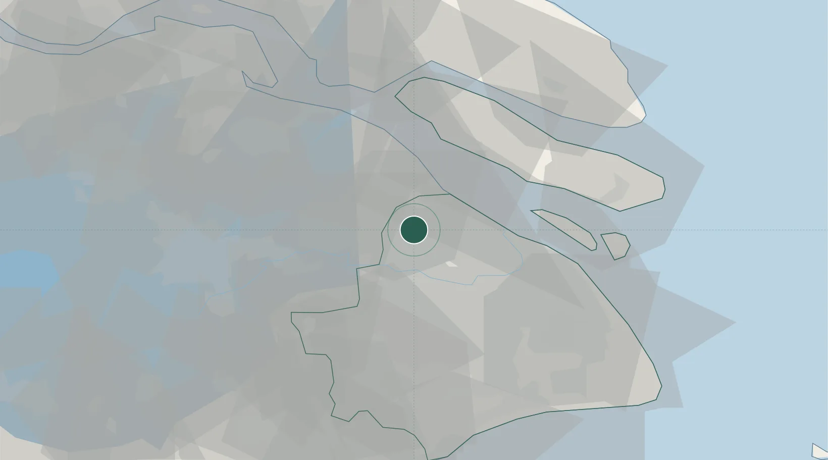
Location
Nearby Logistics Neighbours
Cities
- 1Anting12 km
- 2Baoshan Pt24 km
- 3Kunshan25 km
- 4Taicang Pt27 km
- 5Chongming27 km
Airports
DatabookThe Record of Consolidated Knowledge
China beyond logistics?