Transport Functions
Rail
Road
Multimodal
Hub Profile
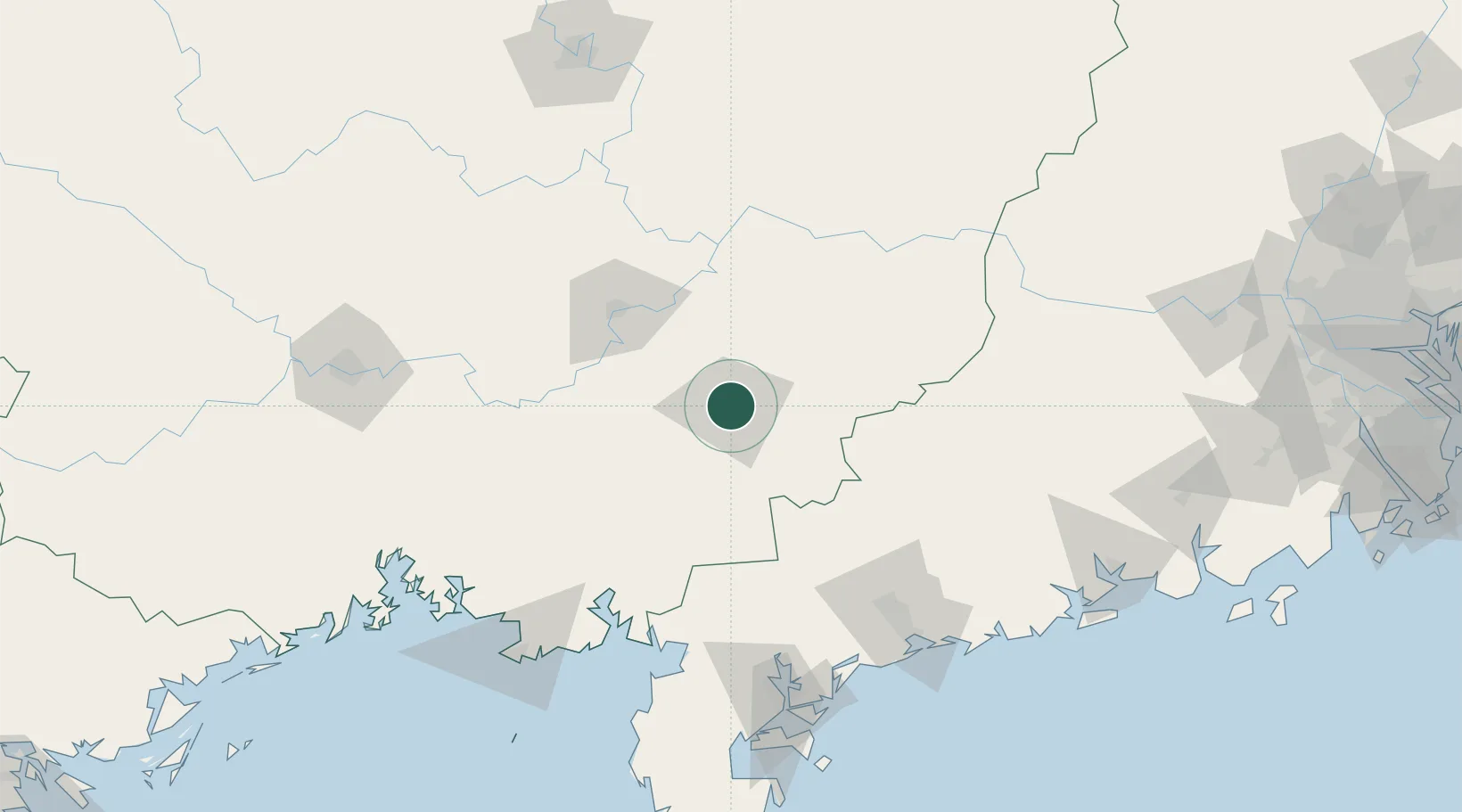
Place type
District seat
Region
Guangxi
Population
1,056,743
Time zone
Asia/Shanghai
Elevation
87 m
Location
Nearby Logistics Neighbours
Ports
- 1Shui Dong160 km
- 2Zhanjiang162 km
- 3Beihai170 km
- 4Qinzhou190 km
- 5Fang-Cheng210 km
Airports
- 1Yulin Fumian Airport23 km
- 2Guiping Mengxu Air Base79 km
- 3Wuzhou Xijiang Airport129 km
- 4Zhanjiang Wuchuan International Airport136 km
- 5Suixi Air Base138 km
DatabookThe Record of Consolidated Knowledge
China beyond logistics?