Transport Functions
Rail
Road
Hub Profile
Region
LL
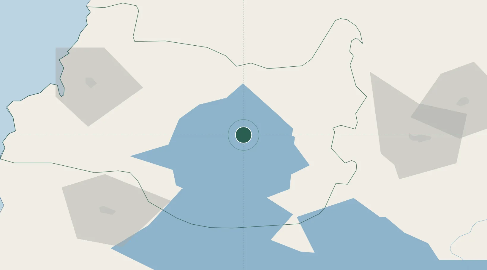
Location
Nearby Logistics Neighbours
Cities
- 1Lago Ranco25 km
- 2Paillaco47 km
- 3Los Lagos53 km
- 4Río Bueno58 km
- 5Puyehue64 km
Ports
- 1Bahia De Valdivia87 km
- 2Puerto De Corral98 km
- 3Puerto Montt159 km
- 4Puerto Quemchi244 km
- 5Puerto Castro287 km
Airports
- 1Cañal Bajo Carlos Hott Siebert Airport81 km
- 2Pichoy Airport84 km
- 3Las Marías Airport86 km
- 4Pucón Airport100 km
- 5Aviador C. Campos Airport102 km
DatabookThe Record of Consolidated Knowledge
Chile beyond logistics?