Transport Functions
Multimodal
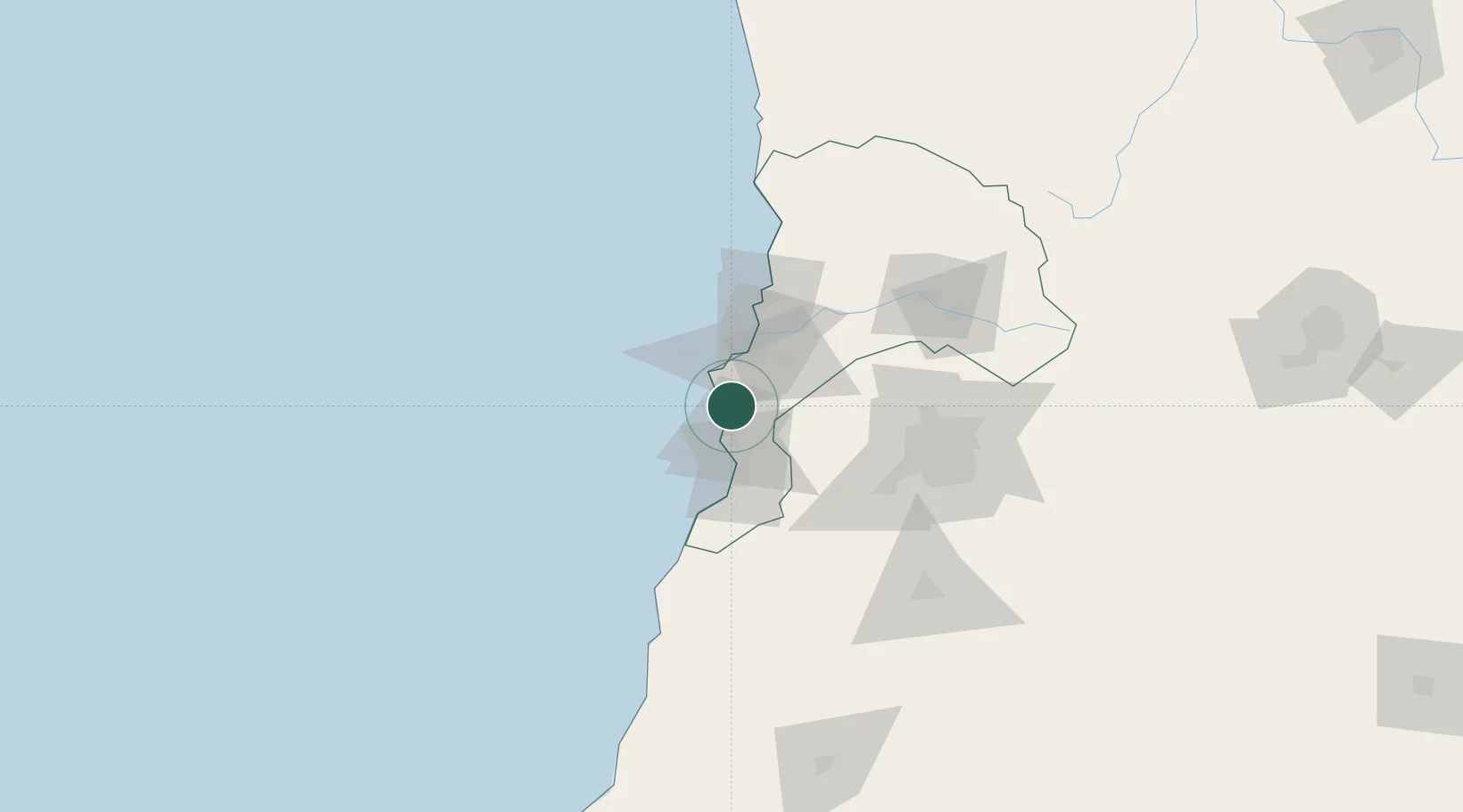
Hub Profile
Place type
Urban district
Region
Valparaíso
Time zone
America/Santiago
Elevation
20 m
Location
Nearby Logistics Neighbours
Cities
- 1Valparaiso16 km
- 2Viña del Mar33 km
- 3Quilpué33 km
- 4San Antonio36 km
- 5Villa Alemana37 km
Ports
- 1Bahia De Valparaiso26 km
- 2Puerto San Antonio35 km
- 3Bahia Quintero (Ventanas)57 km
- 4Bahia Herradura Guayacan368 km
- 5Coquimbo370 km
Airports
Trade Zones
DatabookThe Record of Consolidated Knowledge
Chile beyond logistics?