UN/LOCODE hub · Chile
CLVAP
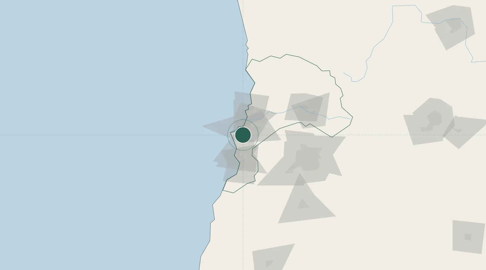
Valparaiso
-33.1368°, -71.5805°
282,448
Population
4
Transport functions
2
Container terminals
Transport Functions
Port
Rail
Road
Airport
Hub Profile
Place type
Regional capital
Region
Valparaíso
Population
282,448
Time zone
America/Santiago
Elevation
15 m
Logistics facilities
14
Container terminals
2
Location
Nearby Logistics Neighbours
Cities
- 1Las Ventanas16 km
- 2Viña del Mar17 km
- 3Quilpué18 km
- 4Villa Alemana23 km
- 5Limache33 km
Ports
- 1Bahia Quintero (Ventanas)41 km
- 2Puerto San Antonio50 km
- 3Bahia Herradura Guayacan353 km
- 4Coquimbo355 km
- 5Lirquen418 km
Airports
Trade Zones
DatabookThe Record of Consolidated Knowledge
Chile beyond logistics?