UN/LOCODE hub · Chile
CLSAI
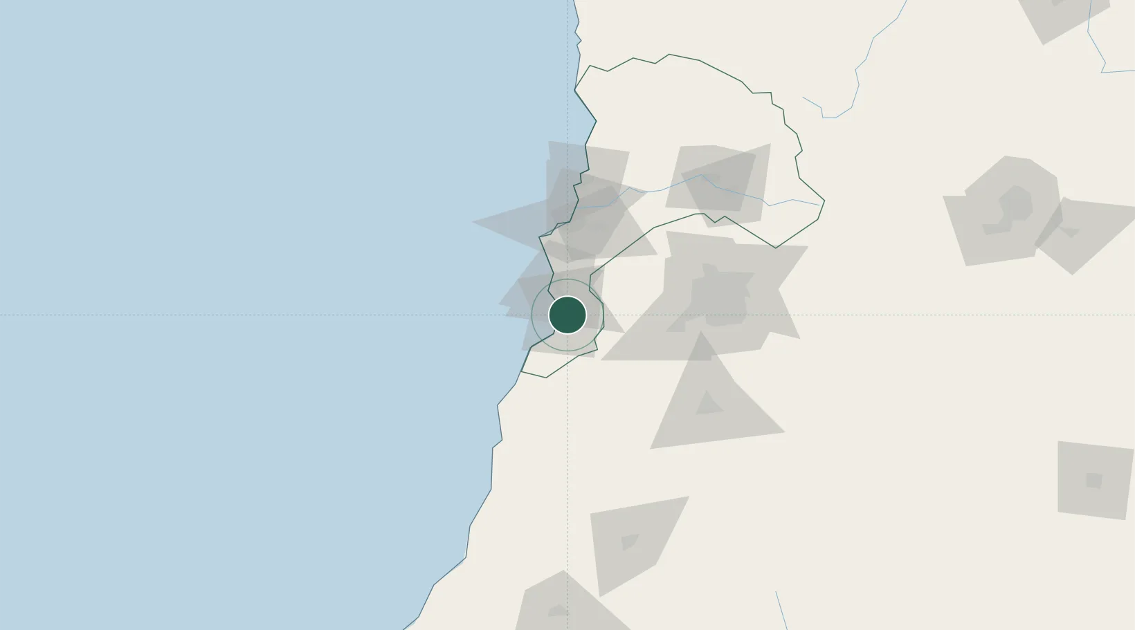
San Antonio
-33.5839°, -71.5855°
87,675
Population
3
Transport functions
2
Container terminals
Transport Functions
Port
Rail
Road
Hub Profile
Place type
Populated place
Region
Valparaíso
Population
87,675
Time zone
America/Santiago
Elevation
39 m
Logistics facilities
15
Container terminals
2
Location
Nearby Logistics Neighbours
Cities
- 1Las Ventanas36 km
- 2Valparaiso50 km
- 3Quilpué63 km
- 4Villa Alemana65 km
- 5Viña del Mar67 km
Ports
- 1Bahia De Valparaiso61 km
- 2Bahia Quintero (Ventanas)91 km
- 3Lirquen371 km
- 4Penco371 km
- 5Talcahuano373 km
Airports
Trade Zones
DatabookThe Record of Consolidated Knowledge
Chile beyond logistics?