UN/LOCODE hub · Chile
CLLMU

Los Muermos

-41.4000°, -73.4833°
2
Transport functions

Transport Functions

Rail
Road
UN/LOCODE

Hub Profile

Place type
Populated place
GeoNames
Region
Los Lagos Region
GeoNames
Time zone
America/Santiago
GeoNames
Elevation
151 m
GeoNames

Location

Location of CLLMU
Natural Earth 10m (public domain) · Los Lagos Region · CLLMU · -41.40, -73.48GoogleOSMYandex

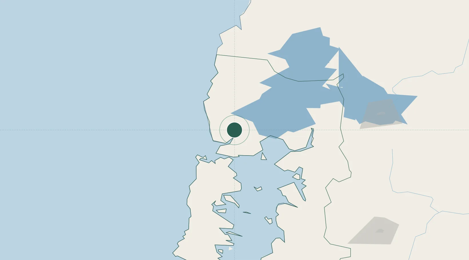
Nearby Logistics Neighbours

Cities
  1. 1Maullín26 km
  2. 2Fresia28 km
  3. 3Puerto Montt40 km
  4. 4Puerto Varas43 km
  5. 5Llanquihue44 km
Nearest neighbours — logibook spatial index (haversine) over the source coordinates
Ports
  1. 1Puerto Montt44 km
  2. 2Puerto Quemchi83 km
  3. 3Puerto Castro123 km
  4. 4Puerto De Corral171 km
  5. 5Bahia De Valdivia179 km
Nearest neighbours — logibook spatial index (haversine) over the source coordinates
Airports
  1. 1El Tepual International Airport33 km
  2. 2Cañal Bajo Carlos Hott Siebert Airport95 km
  3. 3Mocopulli Airport106 km
  4. 4Nuevo Chaitén Airport163 km
  5. 5El Bolsón Airfield173 km
Nearest neighbours — logibook spatial index (haversine) over the source coordinates
Trade Zones
  1. 1Zona Franca Zapala (Zapala Free Trade Zone)401 km
  2. 2Comodoro Free Trade Zone690 km
  3. 3Comodoro Free Trade Zone Zona Franca Chubut691 km
  4. 4La Zona Franca Santa Cruz (ZFSC) - Caleta Olivia739 km
  5. 5Zona Franca Bahía Blanca999 km
Nearest neighbours — logibook spatial index (haversine) over the source coordinates
DatabookThe Record of Consolidated Knowledge
Chile beyond logistics?
Browse databook

All Sources

LocationsUN/LOCODE
UN/LOCODE — free
Portsthe NGA World Port Index
Public domain (US gov)
AirportsOurAirports
Public domain
Trade Zonesthe World Bank SEZ database
CC BY 4.0
Trade ZonesOpen Zone Map
CC BY
← Chile locations