Transport Functions
Port
Road
Hub Profile
Place type
Urban district
Region
Los Lagos Region
Time zone
America/Santiago
Elevation
7 m
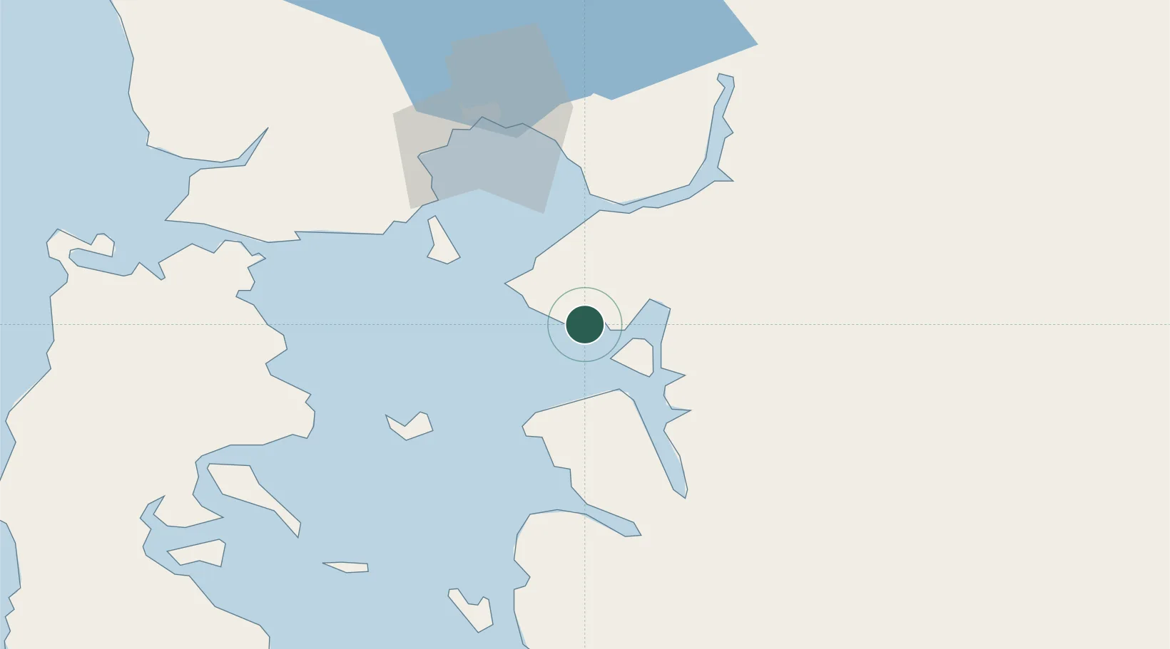
Location
Nearby Logistics Neighbours
Cities
- 1Ayacara33 km
- 2Calbuco48 km
- 3Puerto Montt65 km
- 4Pargua67 km
- 5Quemchi67 km
Ports
- 1Puerto Montt64 km
- 2Puerto Quemchi68 km
- 3Puerto Castro103 km
- 4Puerto De Corral247 km
- 5Bahia De Valdivia251 km
Airports
Trade Zones
DatabookThe Record of Consolidated Knowledge
Chile beyond logistics?