UN/LOCODE hub · Chile
CLCDV

Curaco de Vélez

-42.4333°, -73.5667°
1
Transport functions

Transport Functions

Port
UN/LOCODE

Hub Profile

Place type
Populated place
GeoNames
Region
Los Lagos Region
GeoNames
Time zone
America/Santiago
GeoNames
Elevation
16 m
GeoNames

Location

Location of CLCDV
Natural Earth 10m (public domain) · Los Lagos Region · CLCDV · -42.43, -73.57GoogleOSMYandex

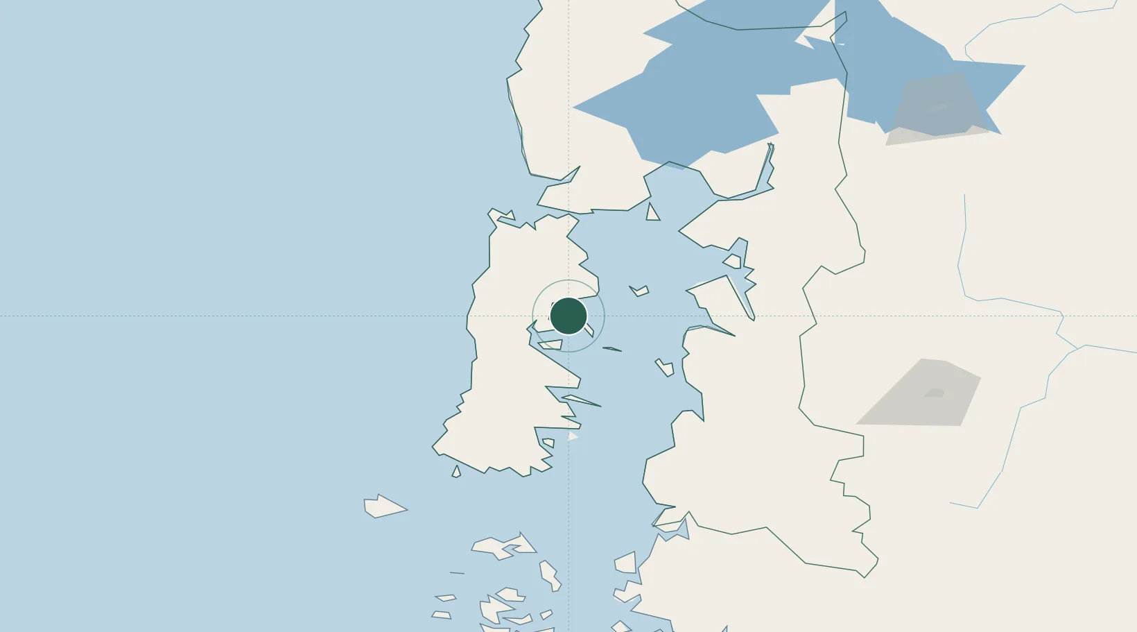
Nearby Logistics Neighbours

Cities
  1. 1Achao5 km
  2. 2Dalcahue10 km
  3. 3Quinchao17 km
  4. 4Castro17 km
  5. 5Puqueldón18 km
Nearest neighbours — logibook spatial index (haversine) over the source coordinates
Ports
  1. 1Puerto Castro17 km
  2. 2Puerto Quemchi32 km
  3. 3Puerto Montt117 km
  4. 4Puerto De Corral286 km
  5. 5Bahia De Valdivia294 km
Nearest neighbours — logibook spatial index (haversine) over the source coordinates
Airports
  1. 1Mocopulli Airport16 km
  2. 2Nuevo Chaitén Airport71 km
  3. 3El Tepual International Airport117 km
  4. 4El Bolsón Airfield176 km
  5. 5Esquel Brigadier Antonio Parodi International Airport205 km
Nearest neighbours — logibook spatial index (haversine) over the source coordinates
Trade Zones
  1. 1Zona Franca Zapala (Zapala Free Trade Zone)491 km
  2. 2Comodoro Free Trade Zone613 km
  3. 3Comodoro Free Trade Zone Zona Franca Chubut616 km
  4. 4La Zona Franca Santa Cruz (ZFSC) - Caleta Olivia657 km
  5. 5Zona Franca Bahía Blanca1039 km
Nearest neighbours — logibook spatial index (haversine) over the source coordinates
DatabookThe Record of Consolidated Knowledge
Chile beyond logistics?
Browse databook

All Sources

LocationsUN/LOCODE
UN/LOCODE — free
Portsthe NGA World Port Index
Public domain (US gov)
AirportsOurAirports
Public domain
Trade Zonesthe World Bank SEZ database
CC BY 4.0
Trade ZonesOpen Zone Map
CC BY
← Chile locations