Transport Functions
Port
Road
Hub Profile
Place type
Urban district
Region
Los Lagos Region
Time zone
America/Santiago
Elevation
11 m
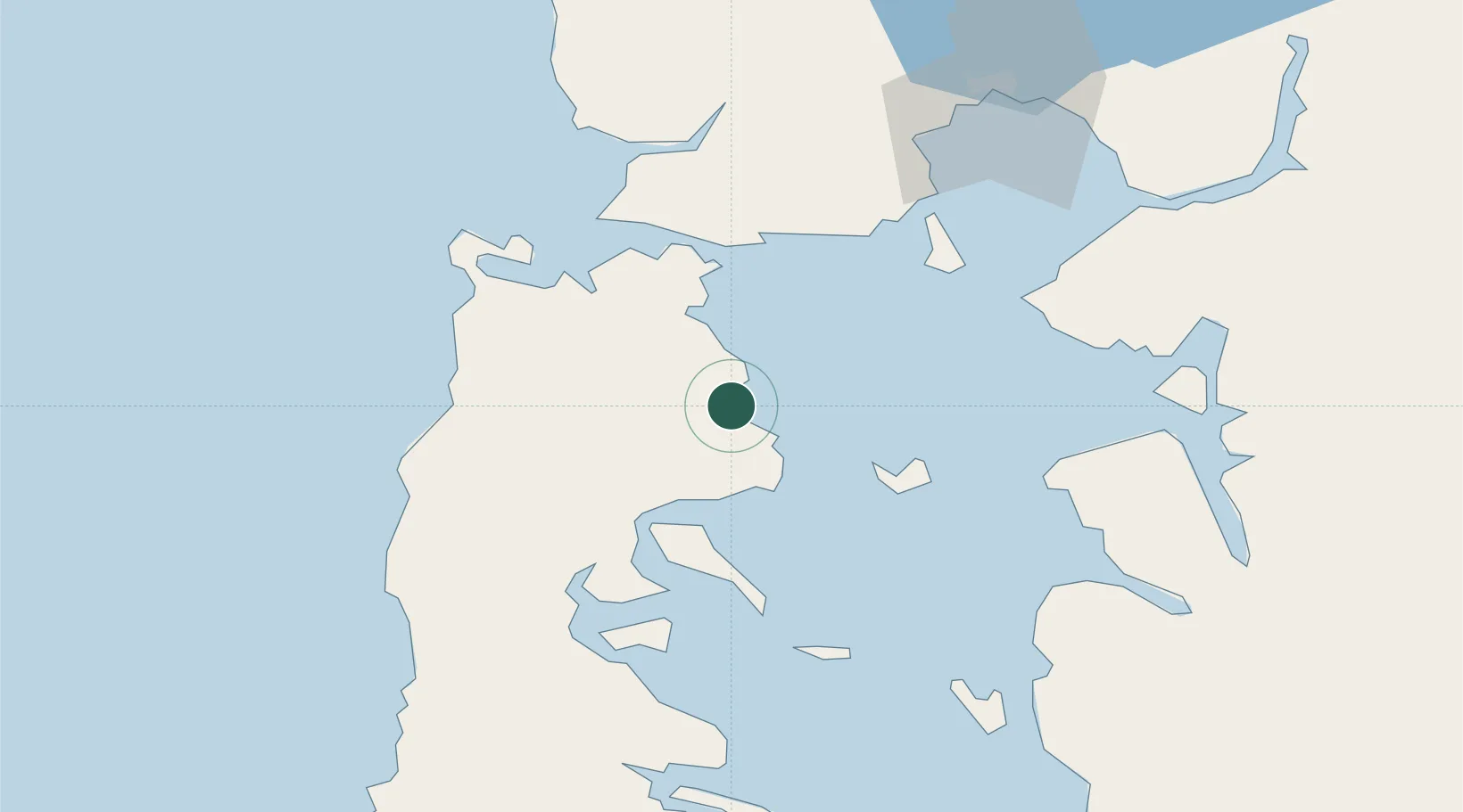
Location
Nearby Logistics Neighbours
Cities
- 1Dalcahue32 km
- 2Chacao34 km
- 3Curaco de Vélez34 km
- 4Achao35 km
- 5Pargua37 km
Ports
- 1Puerto Castro45 km
- 2Puerto Montt84 km
- 3Puerto De Corral252 km
- 4Bahia De Valdivia260 km
- 5Puerto Chacabuco374 km
Airports
- 1Mocopulli Airport30 km
- 2El Tepual International Airport83 km
- 3Nuevo Chaitén Airport90 km
- 4El Bolsón Airfield163 km
- 5Cañal Bajo Carlos Hott Siebert Airport173 km
Trade Zones
DatabookThe Record of Consolidated Knowledge
Chile beyond logistics?