Transport Functions
Rail
Road
Hub Profile
Place type
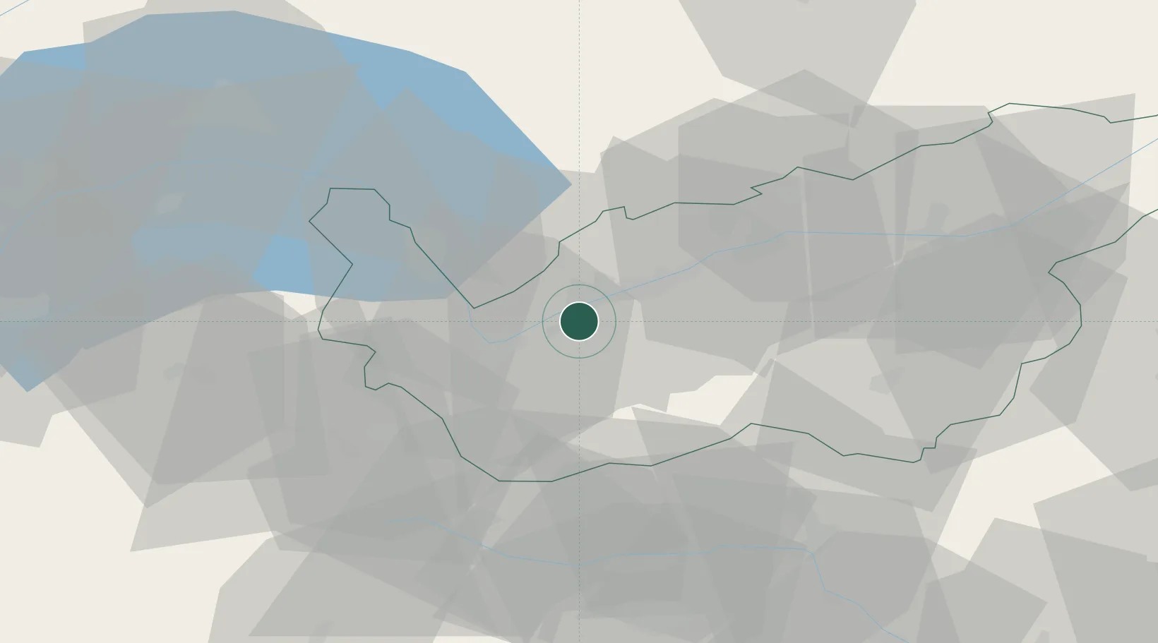
Populated place
Region
Valais
Population
2,213
Time zone
Europe/Zurich
Elevation
499 m
Location
Nearby Logistics Neighbours
Cities
- 1Saxon4 km
- 2Ardon6 km
- 3Vétroz6 km
- 4Fully11 km
- 5Martigny-Ville14 km
Ports
- 1Savona228 km
- 2Rada Di Vado232 km
- 3Genova237 km
- 4Imperia262 km
- 5Chiavari - Lavagna264 km
Airports
- 1Sion Airport9 km
- 2Aosta Corrado Gex Airport49 km
- 3Annemasse Airfield74 km
- 4Payerne Air Base79 km
- 5Bern Airport85 km
Trade Zones
DatabookThe Record of Consolidated Knowledge
Switzerland beyond logistics?