Transport Functions
Road
Multimodal
Hub Profile
Place type
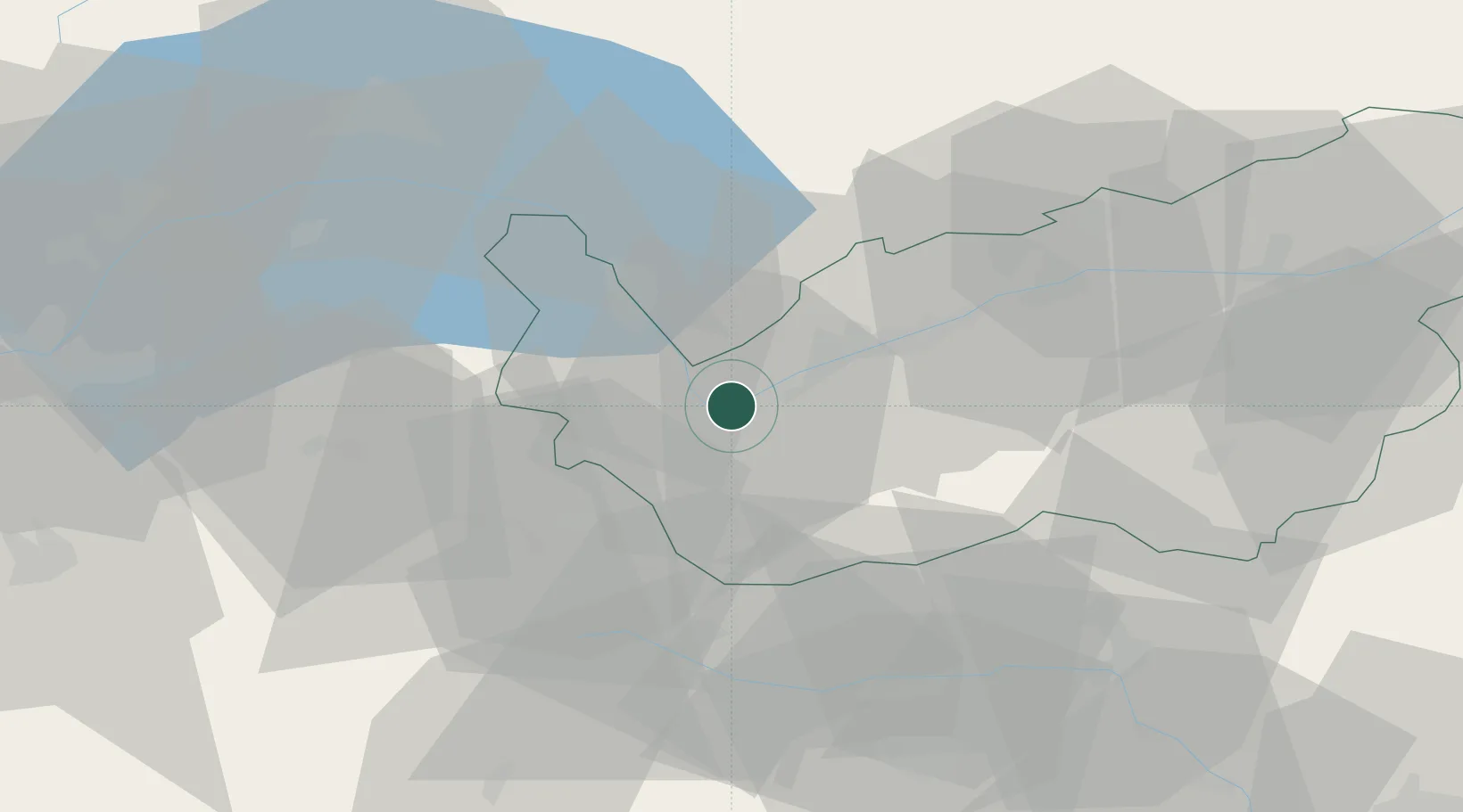
Populated place
Region
Valais
Population
5,922
Time zone
Europe/Zurich
Elevation
471 m
Location
Nearby Logistics Neighbours
Cities
- 1Martigny-Ville4 km
- 2Saxon7 km
- 3Riddes11 km
- 4Sankt Maurice13 km
- 5Bex15 km
Ports
- 1Savona230 km
- 2Rada Di Vado233 km
- 3Genova240 km
- 4Imperia261 km
- 5San Remo263 km
Airports
- 1Sion Airport20 km
- 2Aosta Corrado Gex Airport49 km
- 3Annemasse Airfield64 km
- 4Geneva Cointrin International Airport77 km
- 5Payerne Air Base80 km
Trade Zones
DatabookThe Record of Consolidated Knowledge
Switzerland beyond logistics?