Transport Functions
Rail
Road
Hub Profile
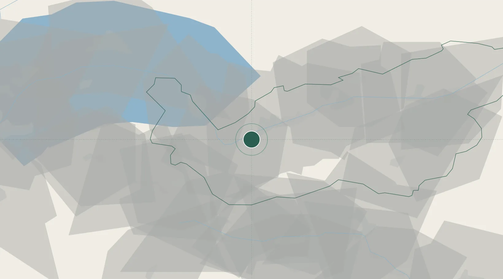
Place type
Populated place
Region
Valais
Population
3,477
Time zone
Europe/Zurich
Elevation
470 m
Location
Nearby Logistics Neighbours
Cities
- 1Riddes4 km
- 2Fully7 km
- 3Ardon9 km
- 4Martigny-Ville10 km
- 5Vétroz10 km
Ports
- 1Savona228 km
- 2Rada Di Vado232 km
- 3Genova238 km
- 4Imperia261 km
- 5San Remo264 km
Airports
- 1Sion Airport14 km
- 2Aosta Corrado Gex Airport48 km
- 3Annemasse Airfield71 km
- 4Payerne Air Base80 km
- 5Geneva Cointrin International Airport83 km
Trade Zones
DatabookThe Record of Consolidated Knowledge
Switzerland beyond logistics?