Transport Functions
Rail
Road
Hub Profile
Region
VS
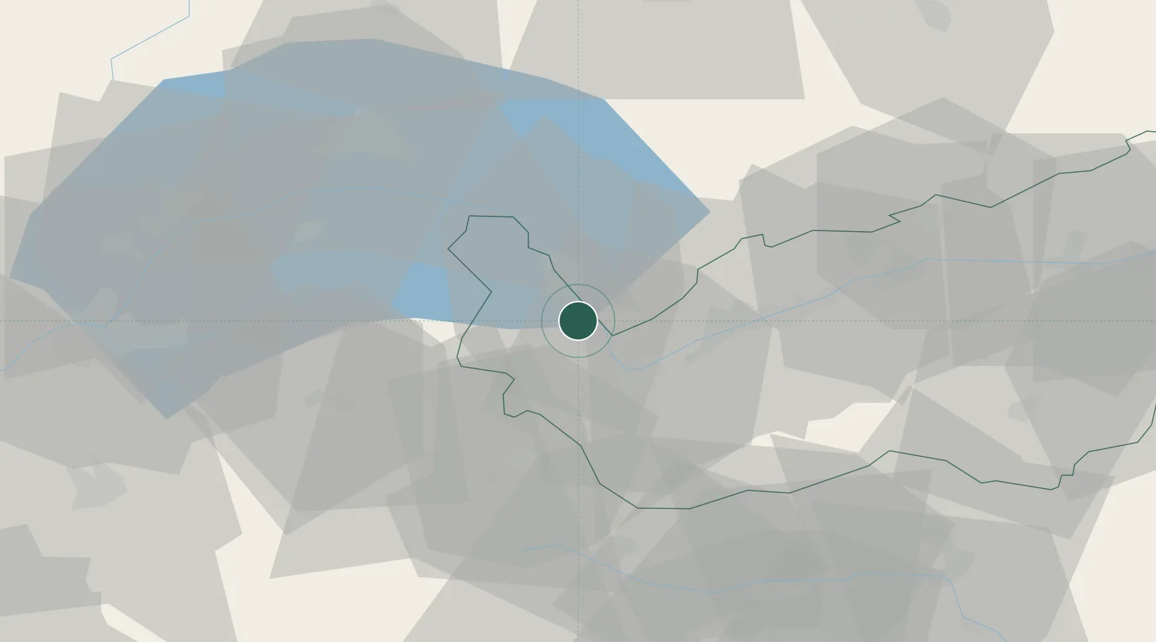
Location
Nearby Logistics Neighbours
Ports
- 1Savona242 km
- 2Rada Di Vado246 km
- 3Genova253 km
- 4Imperia272 km
- 5San Remo274 km
Airports
- 1Sion Airport26 km
- 2Annemasse Airfield55 km
- 3Aosta Corrado Gex Airport61 km
- 4Geneva Cointrin International Airport67 km
- 5Payerne Air Base70 km
Trade Zones
DatabookThe Record of Consolidated Knowledge
Switzerland beyond logistics?