Transport Functions
Rail
Road
Hub Profile
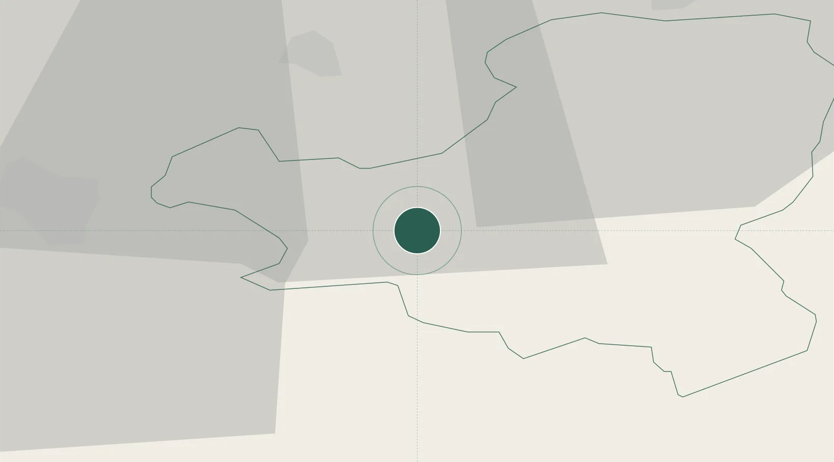
Place type
Populated place
Region
Schwyz
Time zone
Europe/Zurich
Elevation
456 m
Location
Nearby Logistics Neighbours
Ports
- 1Genova294 km
- 2Savona302 km
- 3Rada Di Vado308 km
- 4Chiavari - Lavagna308 km
- 5La Spezia340 km
Airports
- 1Emmen Air Base25 km
- 2Alpnach Air Base27 km
- 3Dübendorf Air Base41 km
- 4Zürich Airport48 km
- 5Bern Airport86 km
Trade Zones
- 1ZFU Mulhouse125 km
- 2Livigno Free Trade Zone126 km
- 3Magazzini Generali Con Chiasso135 km
- 4ZFU Montbéliard148 km
- 5ZFU Belfort153 km
DatabookThe Record of Consolidated Knowledge
Switzerland beyond logistics?