Transport Functions
Port
Road
Hub Profile
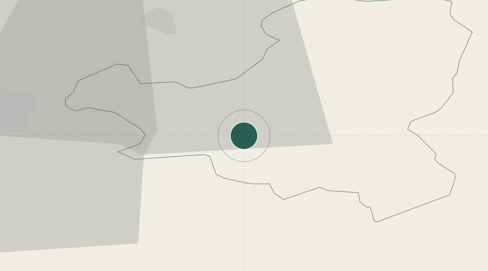
Place type
Populated place
Region
Schwyz
Population
3,500
Time zone
Europe/Zurich
Elevation
454 m
Location
Nearby Logistics Neighbours
Ports
- 1Genova292 km
- 2Savona301 km
- 3Chiavari - Lavagna306 km
- 4Rada Di Vado306 km
- 5La Spezia337 km
Airports
- 1Emmen Air Base27 km
- 2Alpnach Air Base29 km
- 3Dübendorf Air Base43 km
- 4Zürich Airport50 km
- 5Sankt Gallen Altenrhein Airport86 km
Trade Zones
- 1Livigno Free Trade Zone123 km
- 2ZFU Mulhouse128 km
- 3Magazzini Generali Con Chiasso132 km
- 4ZFU Montbéliard151 km
- 5ZFU Belfort156 km
DatabookThe Record of Consolidated Knowledge
Switzerland beyond logistics?