Transport Functions
Multimodal
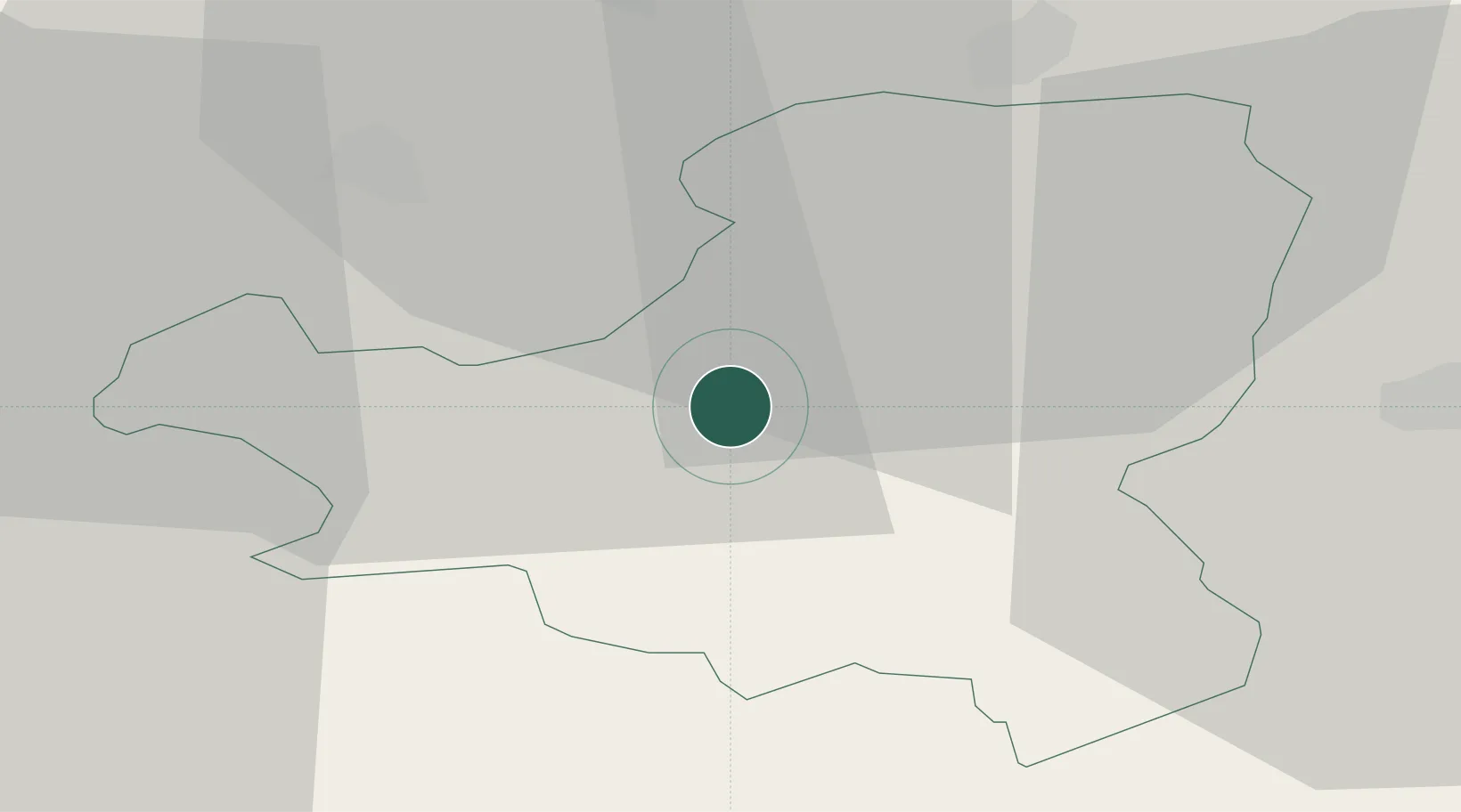
Hub Profile
Place type
Populated place
Region
Schwyz
Population
559
Time zone
Europe/Zurich
Elevation
995 m
Location
Nearby Logistics Neighbours
Cities
- 1Steinen7 km
- 2Unteriberg7 km
- 3Ibach7 km
- 4Seewen7 km
- 5Goldau12 km
Ports
- 1Genova297 km
- 2Savona306 km
- 3Chiavari - Lavagna311 km
- 4Rada Di Vado312 km
- 5Porto Di Lido-Venezia341 km
Airports
- 1Emmen Air Base30 km
- 2Alpnach Air Base34 km
- 3Dübendorf Air Base37 km
- 4Zürich Airport45 km
- 5Sankt Gallen Altenrhein Airport80 km
Trade Zones
- 1Livigno Free Trade Zone122 km
- 2ZFU Mulhouse128 km
- 3Magazzini Generali Con Chiasso137 km
- 4ZFU Montbéliard152 km
- 5ZFU Belfort157 km
DatabookThe Record of Consolidated Knowledge
Switzerland beyond logistics?