UN/LOCODE hub · Switzerland
CHTSA
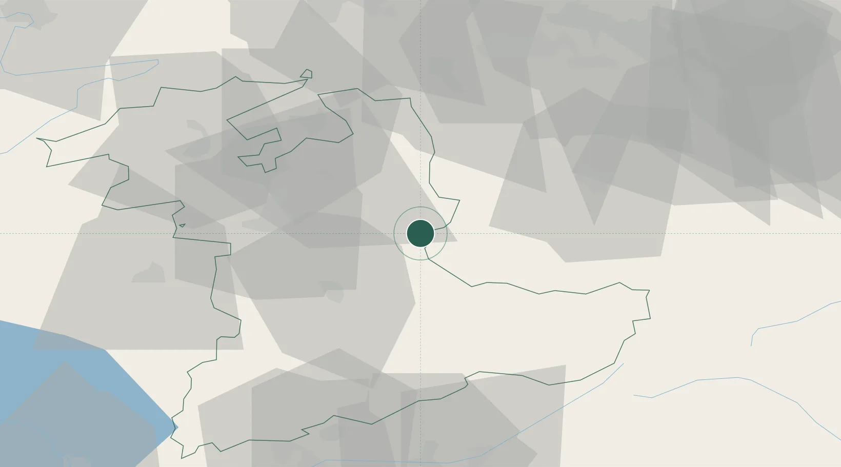
Trubschachen
46.9167°, 7.8500°
1,530
Population
2
Transport functions
Transport Functions
Rail
Road
Hub Profile
Place type
Populated place
Region
Bern
Population
1,530
Time zone
Europe/Zurich
Elevation
731 m
Location
Nearby Logistics Neighbours
Cities
- 1Langnau5 km
- 2Escholzmatt6 km
- 3Schüpfheim13 km
- 4Sumiswald15 km
- 5Zäziwil15 km
Ports
- 1Genova292 km
- 2Savona294 km
- 3Rada Di Vado299 km
- 4Chiavari - Lavagna312 km
- 5Imperia338 km
Airports
- 1Bern Airport27 km
- 2Alpnach Air Base33 km
- 3Emmen Air Base40 km
- 4Grenchen Airfield44 km
- 5Payerne Air Base72 km
Trade Zones
- 1ZFU Mulhouse100 km
- 2PESA - Port-Franc et Entrepôts de Lausanne-Chavornay SA101 km
- 3ZFU Montbéliard104 km
- 4Port Franc Vevey110 km
- 5ZFU Belfort113 km
DatabookThe Record of Consolidated Knowledge
Switzerland beyond logistics?