Transport Functions
Rail
Road
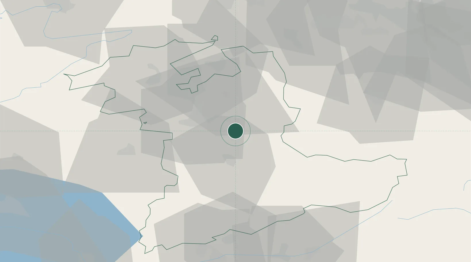
Hub Profile
Place type
Populated place
Region
Bern
Population
1,535
Time zone
Europe/Zurich
Elevation
686 m
Location
Nearby Logistics Neighbours
Cities
- 1Konolfingen3 km
- 2Biglen5 km
- 3Oberdiessbach8 km
- 4Niederwichtrach8 km
- 5Boll9 km
Ports
- 1Savona295 km
- 2Genova295 km
- 3Rada Di Vado300 km
- 4Chiavari - Lavagna317 km
- 5Imperia337 km
Airports
- 1Bern Airport12 km
- 2Grenchen Airfield36 km
- 3Alpnach Air Base48 km
- 4Emmen Air Base54 km
- 5Payerne Air Base56 km
Trade Zones
- 1PESA - Port-Franc et Entrepôts de Lausanne-Chavornay SA85 km
- 2ZFU Montbéliard94 km
- 3Port Franc Vevey96 km
- 4ZFU Mulhouse97 km
- 5ZFU Belfort105 km
DatabookThe Record of Consolidated Knowledge
Switzerland beyond logistics?