Transport Functions
Rail
Road
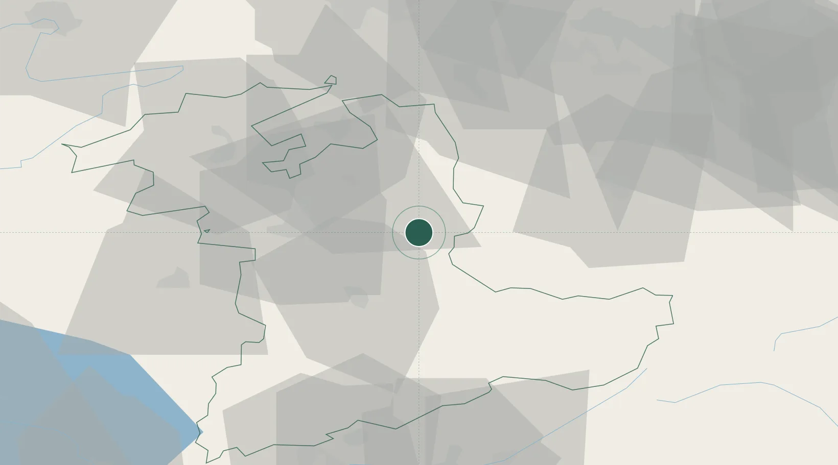
Hub Profile
Place type
Provincial seat
Region
Bern
Population
8,784
Time zone
Europe/Zurich
Elevation
677 m
Location
Nearby Logistics Neighbours
Cities
- 1Trubschachen5 km
- 2Kirchlindach11 km
- 3Zäziwil11 km
- 4Sumiswald11 km
- 5Escholzmatt12 km
Ports
- 1Genova296 km
- 2Savona296 km
- 3Rada Di Vado301 km
- 4Chiavari - Lavagna316 km
- 5Imperia340 km
Airports
- 1Bern Airport22 km
- 2Alpnach Air Base38 km
- 3Grenchen Airfield39 km
- 4Emmen Air Base43 km
- 5Payerne Air Base67 km
Trade Zones
- 1PESA - Port-Franc et Entrepôts de Lausanne-Chavornay SA96 km
- 2ZFU Mulhouse97 km
- 3ZFU Montbéliard99 km
- 4Port Franc Vevey107 km
- 5ZFU Belfort108 km
DatabookThe Record of Consolidated Knowledge
Switzerland beyond logistics?