Transport Functions
Road
Multimodal
Hub Profile
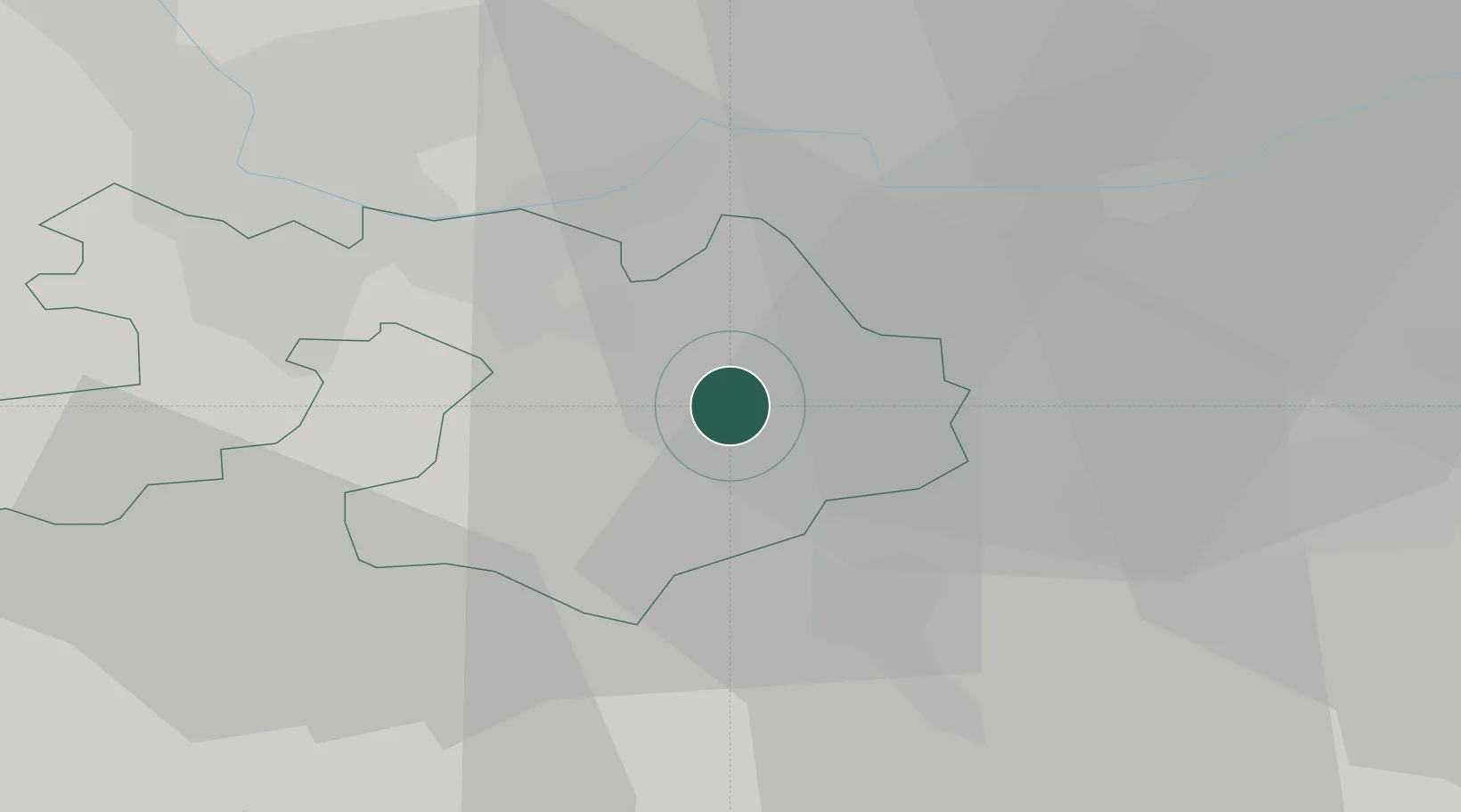
Region
BL
Location
Nearby Logistics Neighbours
Cities
- 1Itingen4 km
- 2Sissach4 km
- 3Diegten5 km
- 4Liestal8 km
- 5Füllinsdorf10 km
Ports
- 1Genova350 km
- 2Savona352 km
- 3Rada Di Vado357 km
- 4Chiavari - Lavagna368 km
- 5Imperia397 km
Airports
- 1EuroAirport Basel–Mulhouse–Freiburg29 km
- 2Grenchen Airfield43 km
- 3Emmen Air Base53 km
- 4Zürich Airport54 km
- 5Dübendorf Air Base62 km
Trade Zones
- 1ZFU Mulhouse50 km
- 2ZFU Montbéliard79 km
- 3ZFU Belfort80 km
- 4ZFU Neuhof121 km
- 5PESA - Port-Franc et Entrepôts de Lausanne-Chavornay SA127 km
DatabookThe Record of Consolidated Knowledge
Switzerland beyond logistics?