Transport Functions
Road
Multimodal
Hub Profile
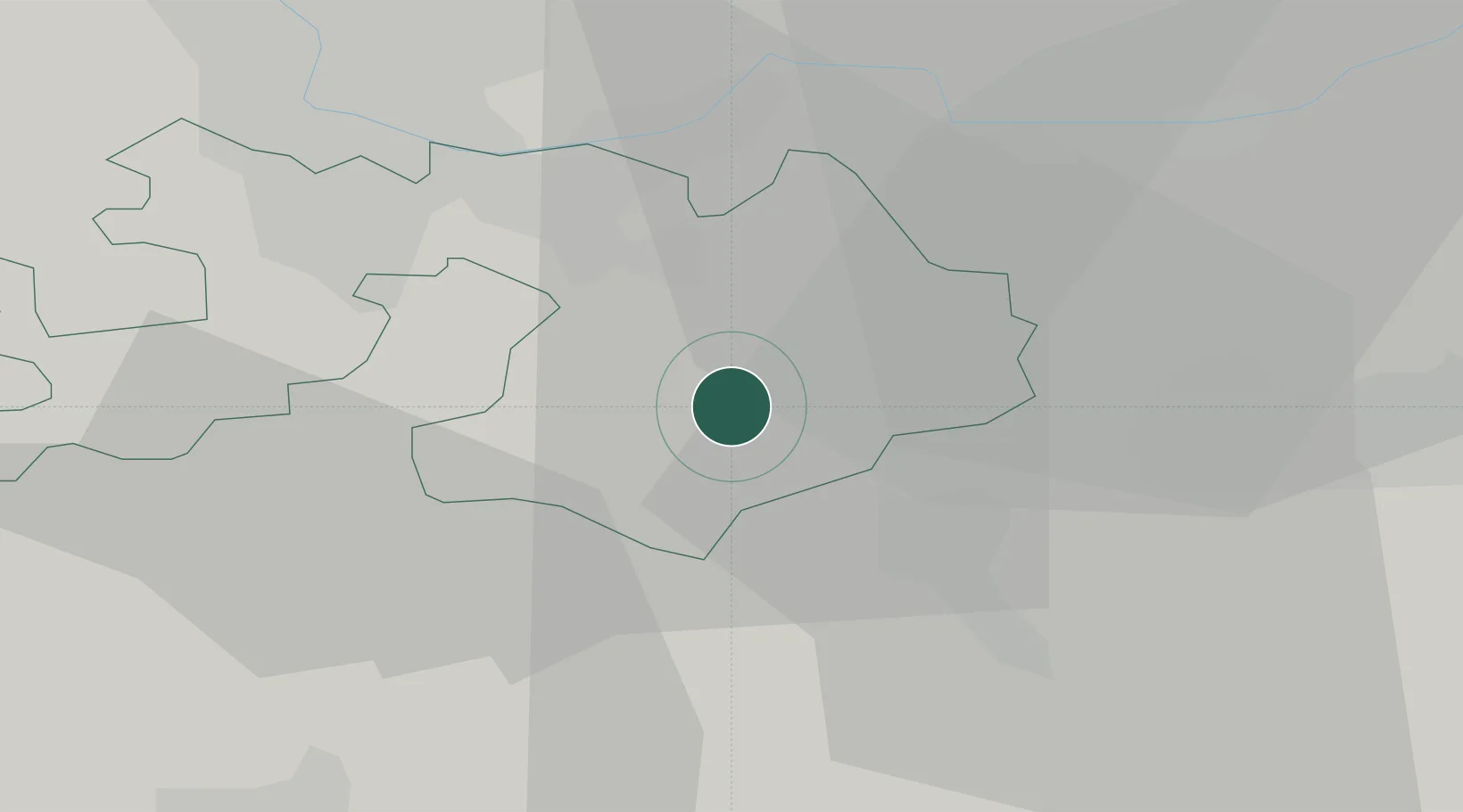
Place type
Populated place
Region
Basel-Landschaft
Population
1,633
Time zone
Europe/Zurich
Elevation
468 m
Location
Nearby Logistics Neighbours
Ports
- 1Genova347 km
- 2Savona349 km
- 3Rada Di Vado354 km
- 4Chiavari - Lavagna366 km
- 5Imperia393 km
Airports
- 1EuroAirport Basel–Mulhouse–Freiburg29 km
- 2Grenchen Airfield39 km
- 3Emmen Air Base53 km
- 4Zürich Airport57 km
- 5Bern Airport61 km
Trade Zones
- 1ZFU Mulhouse51 km
- 2ZFU Montbéliard77 km
- 3ZFU Belfort79 km
- 4PESA - Port-Franc et Entrepôts de Lausanne-Chavornay SA122 km
- 5ZFU Neuhof125 km
DatabookThe Record of Consolidated Knowledge
Switzerland beyond logistics?