Transport Functions
Multimodal
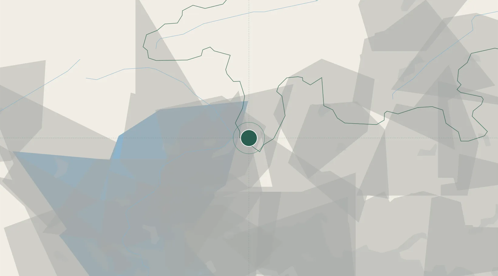
Hub Profile
Place type
Populated place
Region
Grisons
Population
733
Time zone
Europe/Zurich
Elevation
276 m
Location
Nearby Logistics Neighbours
Cities
- 1Castione6 km
- 2Iragna15 km
- 3Sant'Antonino15 km
- 4Pollegio19 km
- 5Bironico21 km
Ports
- 1Genova205 km
- 2Chiavari - Lavagna215 km
- 3Savona219 km
- 4Rada Di Vado225 km
- 5La Spezia244 km
Airports
Trade Zones
DatabookThe Record of Consolidated Knowledge
Switzerland beyond logistics?