Transport Functions
Multimodal
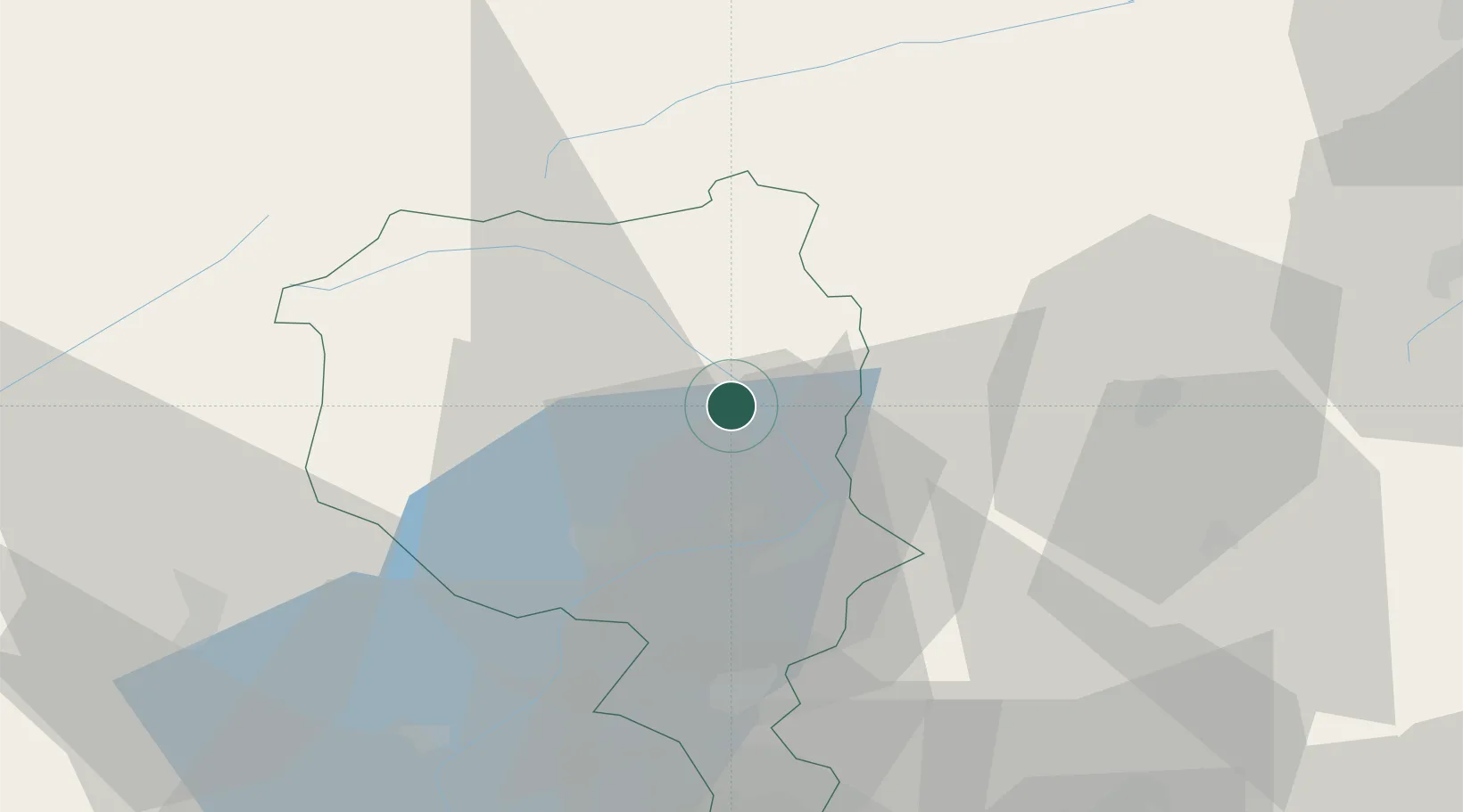
Hub Profile
Place type
Populated place
Region
Ticino
Time zone
Europe/Zurich
Elevation
434 m
Location
Nearby Logistics Neighbours
Ports
- 1Genova217 km
- 2Savona229 km
- 3Chiavari - Lavagna230 km
- 4Rada Di Vado235 km
- 5La Spezia260 km
Airports
- 1Lugano Airport39 km
- 2Varese-Venegono Airport68 km
- 3Engadin Airport76 km
- 4Milan Malpensa International Airport82 km
- 5Alpnach Air Base83 km
Trade Zones
DatabookThe Record of Consolidated Knowledge
Switzerland beyond logistics?