Transport Functions
Rail
Road
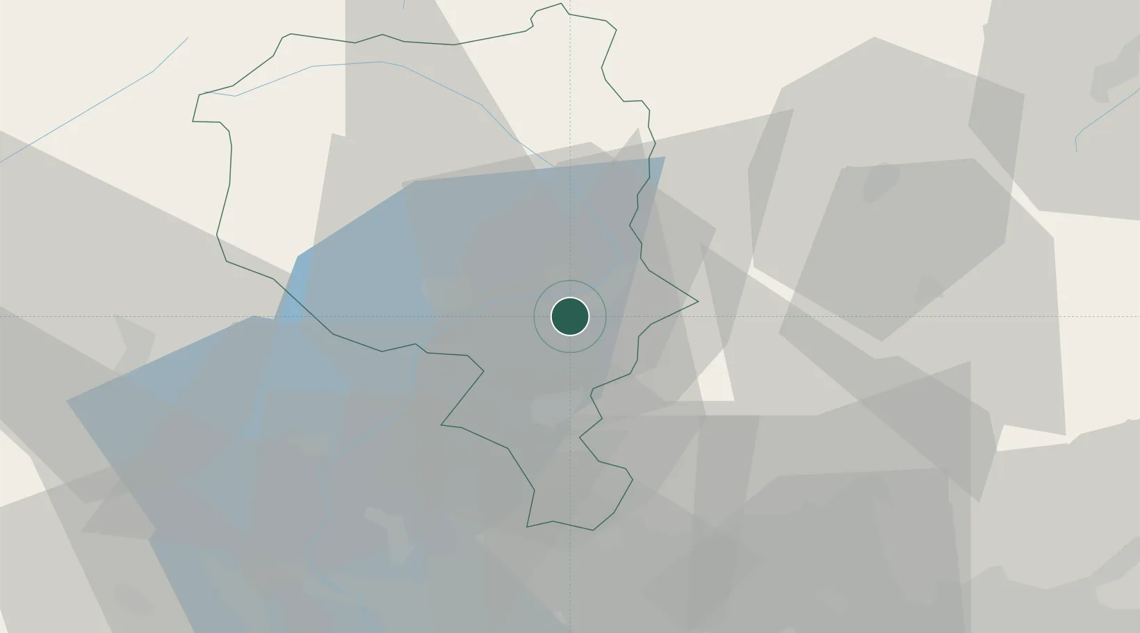
Hub Profile
Place type
Populated place
Region
Ticino
Time zone
Europe/Zurich
Elevation
248 m
Location
Nearby Logistics Neighbours
Ports
- 1Genova195 km
- 2Chiavari - Lavagna207 km
- 3Savona207 km
- 4Rada Di Vado213 km
- 5La Spezia238 km
Airports
Trade Zones
DatabookThe Record of Consolidated Knowledge
Switzerland beyond logistics?