Transport Functions
Rail
Road
Hub Profile
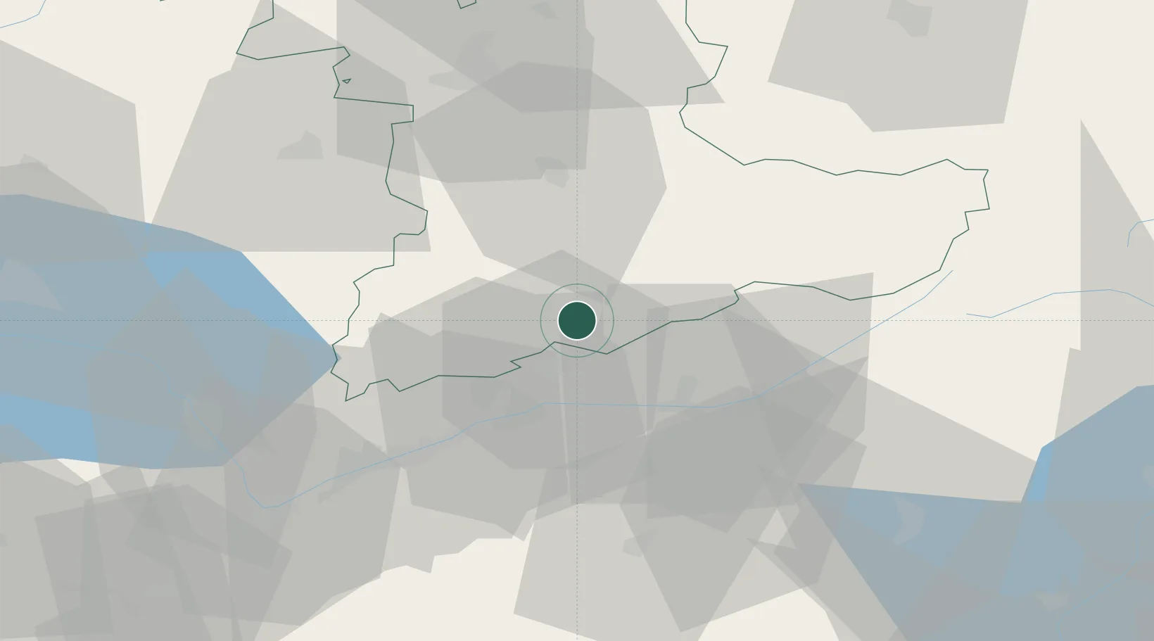
Place type
Populated place
Region
Bern
Population
1,123
Time zone
Europe/Zurich
Elevation
1,172 m
Location
Nearby Logistics Neighbours
Cities
- 1Reichenbach15 km
- 2Leuk19 km
- 3Miege21 km
- 4Spiez22 km
- 5Raron23 km
Ports
- 1Savona250 km
- 2Genova252 km
- 3Rada Di Vado254 km
- 4Chiavari - Lavagna275 km
- 5Imperia291 km
Airports
- 1Sion Airport39 km
- 2Bern Airport49 km
- 3Alpnach Air Base70 km
- 4Payerne Air Base70 km
- 5Grenchen Airfield80 km
Trade Zones
DatabookThe Record of Consolidated Knowledge
Switzerland beyond logistics?