Transport Functions
Rail
Road
Hub Profile
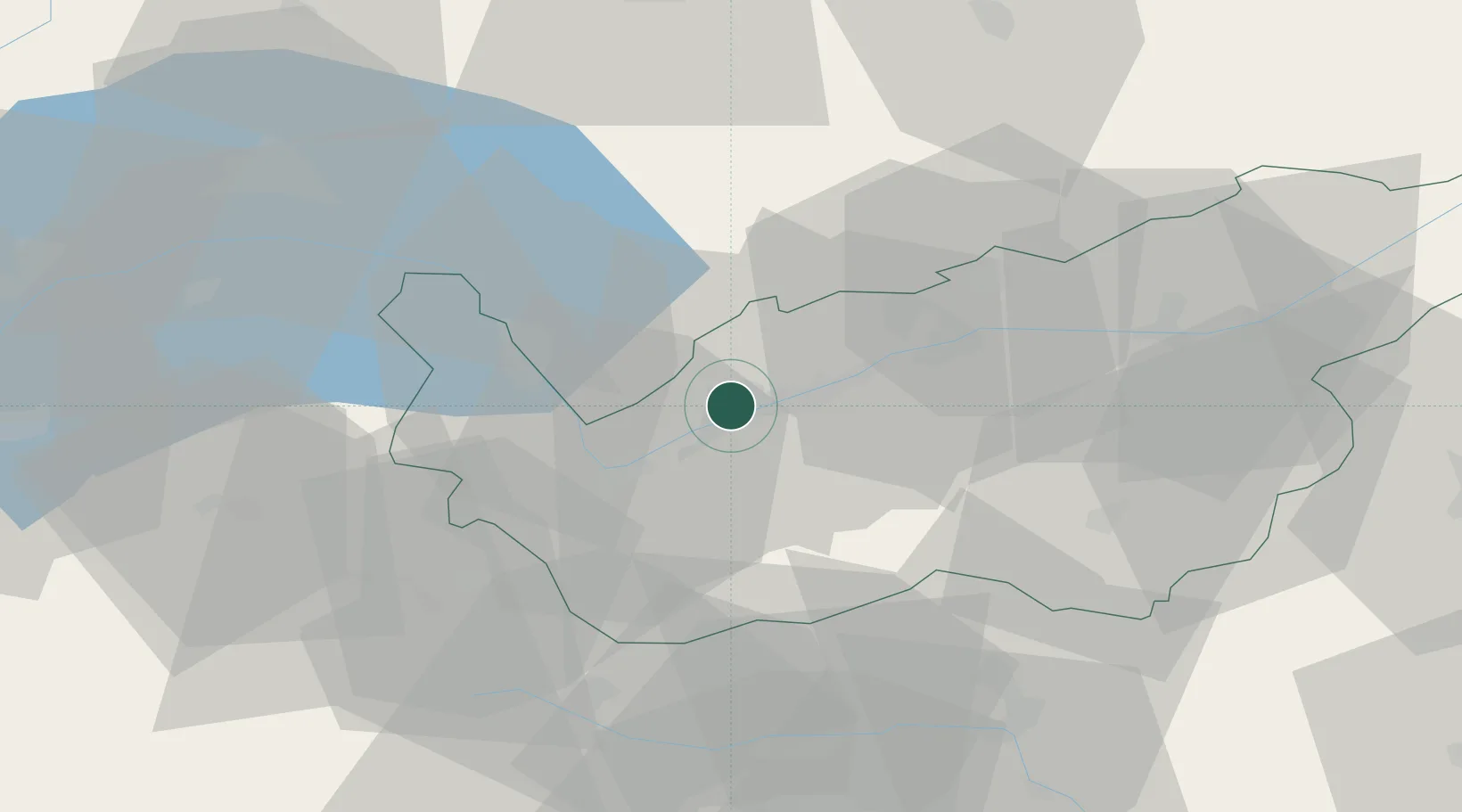
Place type
Populated place
Region
Valais
Population
2,305
Time zone
Europe/Zurich
Elevation
487 m
Location
Nearby Logistics Neighbours
Ports
- 1Savona233 km
- 2Rada Di Vado237 km
- 3Genova241 km
- 4Imperia267 km
- 5Chiavari - Lavagna268 km
Airports
- 1Sion Airport6 km
- 2Aosta Corrado Gex Airport54 km
- 3Payerne Air Base74 km
- 4Annemasse Airfield76 km
- 5Bern Airport80 km
Trade Zones
DatabookThe Record of Consolidated Knowledge
Switzerland beyond logistics?