Transport Functions
Multimodal
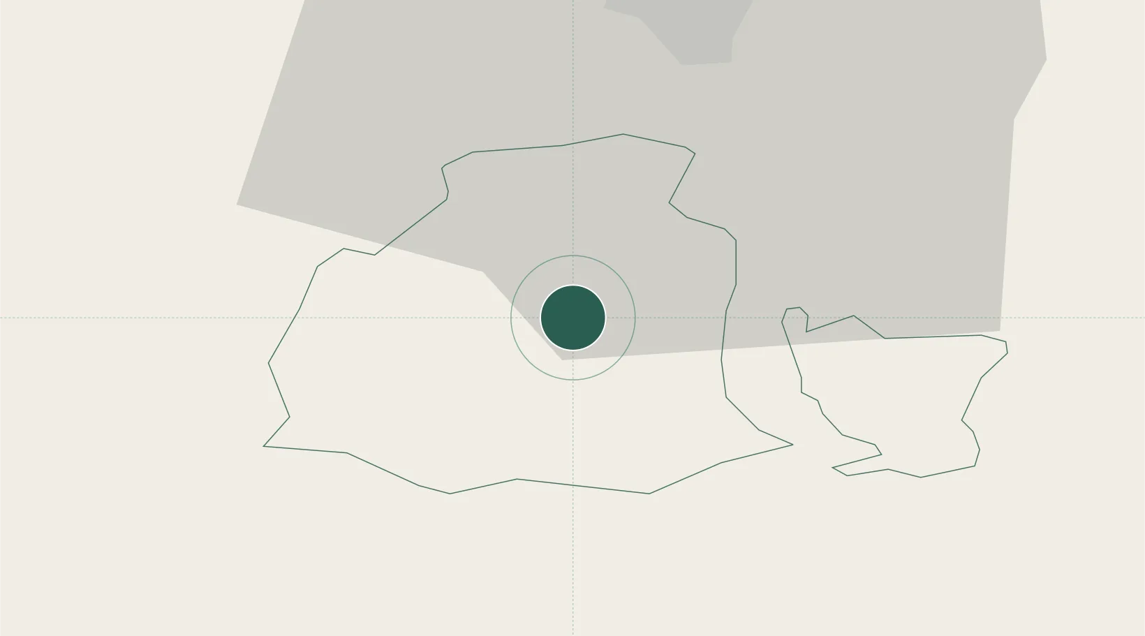
Hub Profile
Place type
Populated place
Region
Obwalden
Population
4,511
Time zone
Europe/Zurich
Elevation
477 m
Location
Nearby Logistics Neighbours
Cities
- 1Lungern9 km
- 2Stansstad14 km
- 3Meiringen15 km
- 4Buochs18 km
- 5Schüpfheim19 km
Ports
- 1Genova280 km
- 2Savona284 km
- 3Rada Di Vado290 km
- 4Chiavari - Lavagna297 km
- 5La Spezia332 km
Airports
- 1Alpnach Air Base9 km
- 2Emmen Air Base26 km
- 3Bern Airport56 km
- 4Dübendorf Air Base67 km
- 5Zürich Airport70 km
Trade Zones
- 1ZFU Mulhouse119 km
- 2Magazzini Generali Con Chiasso126 km
- 3PESA - Port-Franc et Entrepôts de Lausanne-Chavornay SA128 km
- 4ZFU Montbéliard130 km
- 5Port Franc Vevey135 km
DatabookThe Record of Consolidated Knowledge
Switzerland beyond logistics?