Transport Functions
Rail
Road
Hub Profile
Place type
Populated place
Region
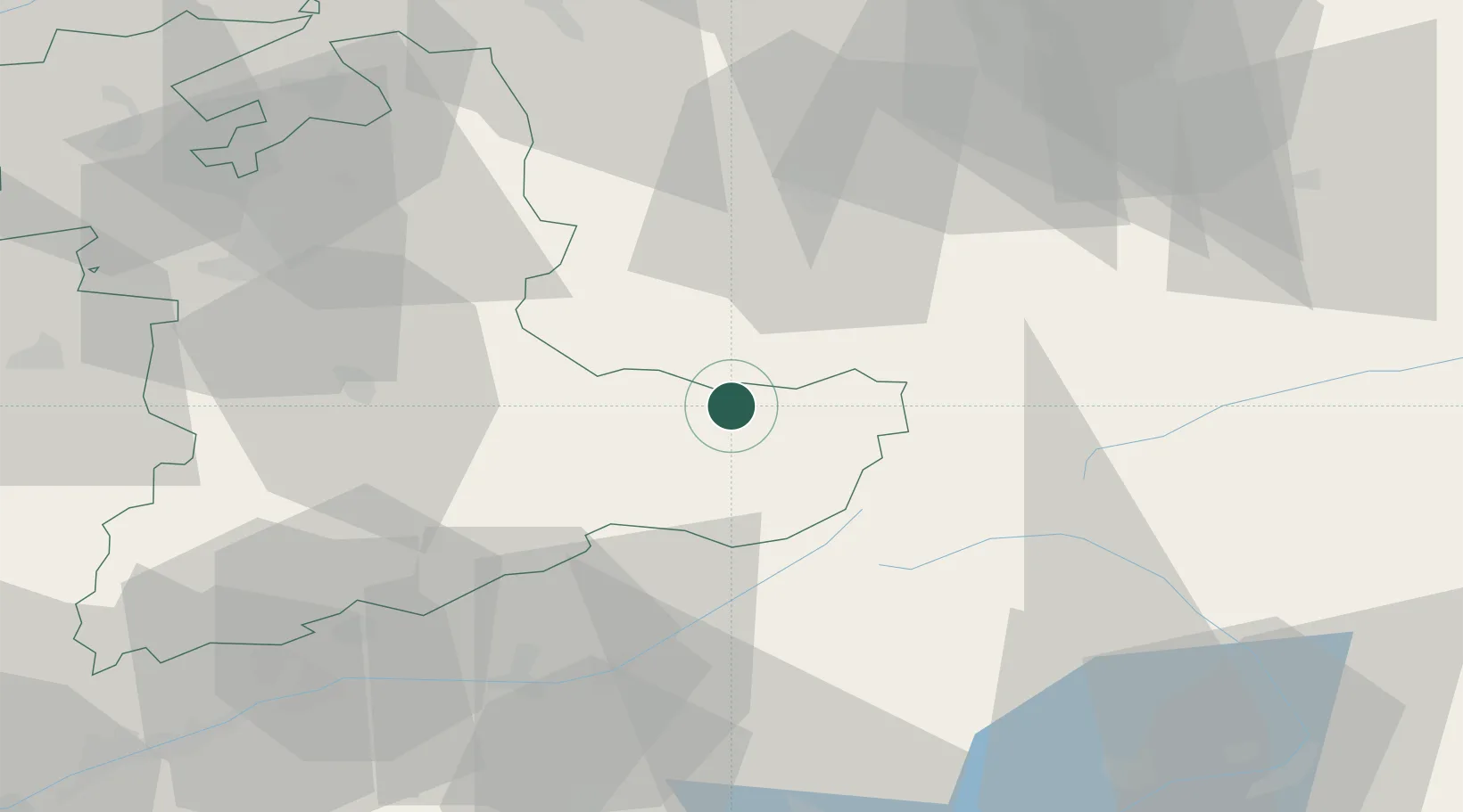
Bern
Population
4,652
Time zone
Europe/Zurich
Elevation
599 m
Location
Nearby Logistics Neighbours
Cities
- 1Lungern8 km
- 2Brienz12 km
- 3Sachseln15 km
- 4Oberried am Brienzersee18 km
- 5Schüpfheim27 km
Ports
- 1Genova266 km
- 2Savona270 km
- 3Rada Di Vado275 km
- 4Chiavari - Lavagna284 km
- 5Imperia317 km
Airports
- 1Alpnach Air Base25 km
- 2Emmen Air Base41 km
- 3Bern Airport56 km
- 4Grenchen Airfield77 km
- 5Dübendorf Air Base82 km
Trade Zones
- 1Magazzini Generali Con Chiasso115 km
- 2PESA - Port-Franc et Entrepôts de Lausanne-Chavornay SA124 km
- 3Port Franc Vevey127 km
- 4ZFU Mulhouse130 km
- 5ZFU Montbéliard136 km
DatabookThe Record of Consolidated Knowledge
Switzerland beyond logistics?