Transport Functions
Rail
Road
Hub Profile
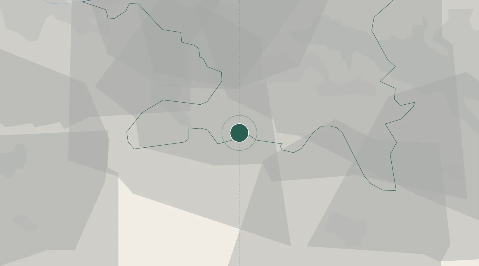
Place type
Populated place
Region
Aargau
Time zone
Europe/Zurich
Elevation
510 m
Location
Nearby Logistics Neighbours
Cities
- 1Buron6 km
- 2Muhen8 km
- 3Reinach9 km
- 4Menziken9 km
- 5Oberentfelden9 km
Ports
- 1Genova326 km
- 2Savona330 km
- 3Rada Di Vado335 km
- 4Chiavari - Lavagna344 km
- 5Imperia376 km
Airports
- 1Emmen Air Base27 km
- 2Alpnach Air Base40 km
- 3Zürich Airport42 km
- 4Dübendorf Air Base46 km
- 5Grenchen Airfield50 km
Trade Zones
- 1ZFU Mulhouse77 km
- 2ZFU Montbéliard100 km
- 3ZFU Belfort104 km
- 4PESA - Port-Franc et Entrepôts de Lausanne-Chavornay SA130 km
- 5ZFU Neuhof143 km
DatabookThe Record of Consolidated Knowledge
Switzerland beyond logistics?