Transport Functions
Port
Multimodal
Hub Profile
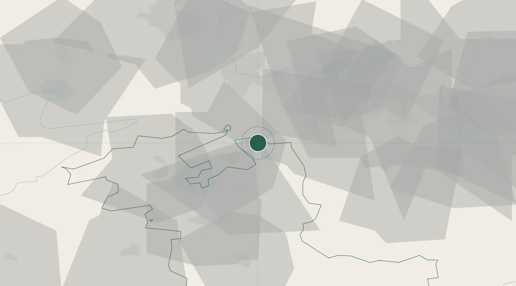
Place type
Populated place
Region
Bern
Population
3,862
Time zone
Europe/Zurich
Elevation
466 m
Location
Nearby Logistics Neighbours
Cities
- 1Oberbipp1 km
- 2Oensingen5 km
- 3Wangen an der Aare5 km
- 4Kestenholz5 km
- 5Niederbuchsiten7 km
Ports
- 1Genova333 km
- 2Savona334 km
- 3Rada Di Vado339 km
- 4Chiavari - Lavagna353 km
- 5Imperia377 km
Airports
- 1Grenchen Airfield22 km
- 2EuroAirport Basel–Mulhouse–Freiburg39 km
- 3Bern Airport42 km
- 4Emmen Air Base51 km
- 5Alpnach Air Base58 km
Trade Zones
- 1ZFU Mulhouse60 km
- 2ZFU Montbéliard73 km
- 3ZFU Belfort78 km
- 4PESA - Port-Franc et Entrepôts de Lausanne-Chavornay SA105 km
- 5Port Franc Vevey123 km
DatabookThe Record of Consolidated Knowledge
Switzerland beyond logistics?