Transport Functions
Port
Multimodal
Hub Profile
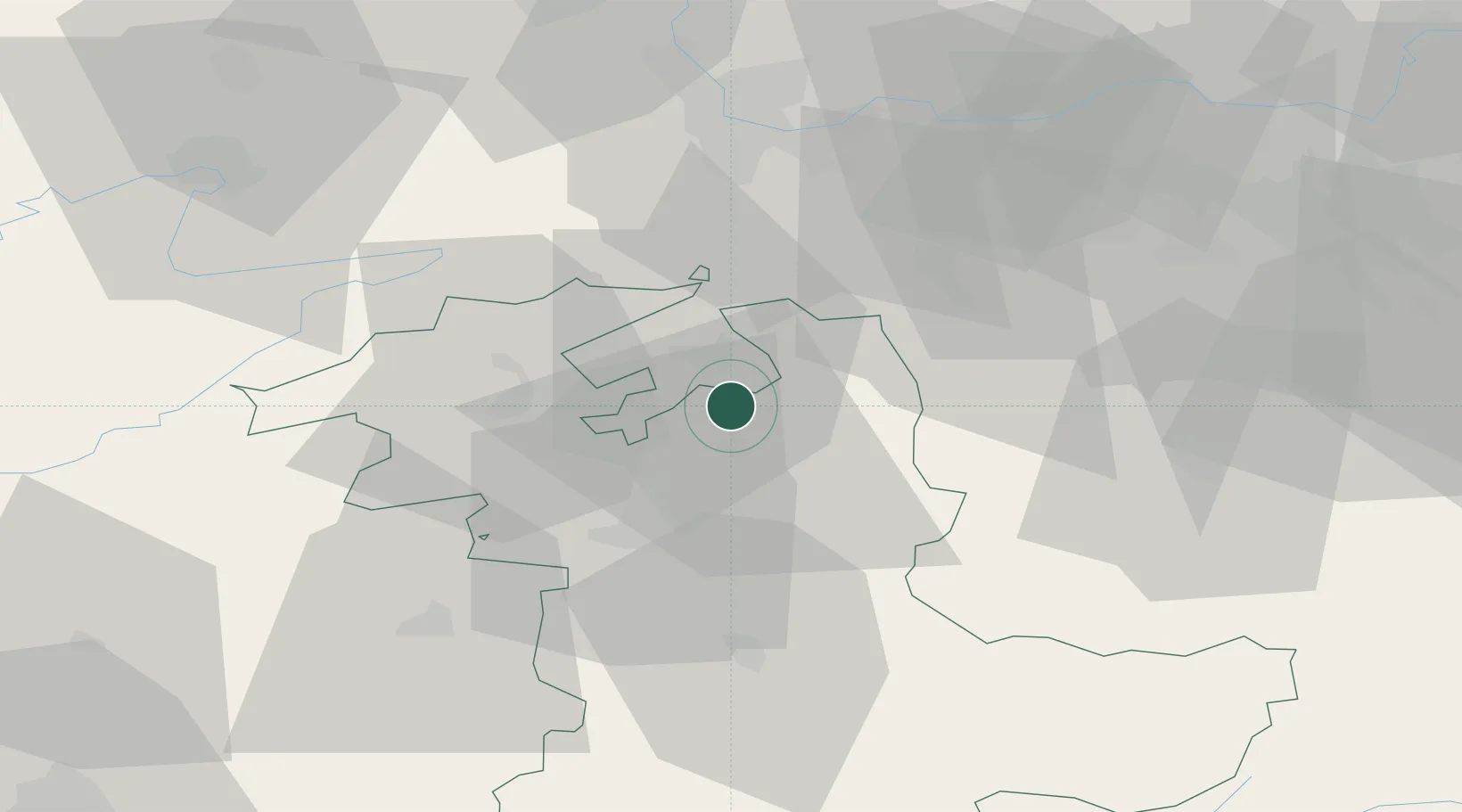
Place type
Populated place
Region
Bern
Population
1,977
Time zone
Europe/Zurich
Elevation
482 m
Location
Nearby Logistics Neighbours
Cities
- 1Utzenstorf4 km
- 2Wiler4 km
- 3Obergerlafingen5 km
- 4Bätterkinden5 km
- 5Kriegstetten6 km
Ports
- 1Savona321 km
- 2Genova321 km
- 3Rada Di Vado326 km
- 4Chiavari - Lavagna342 km
- 5Imperia363 km
Airports
- 1Grenchen Airfield15 km
- 2Bern Airport26 km
- 3EuroAirport Basel–Mulhouse–Freiburg52 km
- 4Emmen Air Base54 km
- 5Alpnach Air Base56 km
Trade Zones
- 1ZFU Mulhouse71 km
- 2ZFU Montbéliard74 km
- 3ZFU Belfort83 km
- 4PESA - Port-Franc et Entrepôts de Lausanne-Chavornay SA92 km
- 5Port Franc Vevey108 km
DatabookThe Record of Consolidated Knowledge
Switzerland beyond logistics?