UN/LOCODE hub · Switzerland
CHKRI
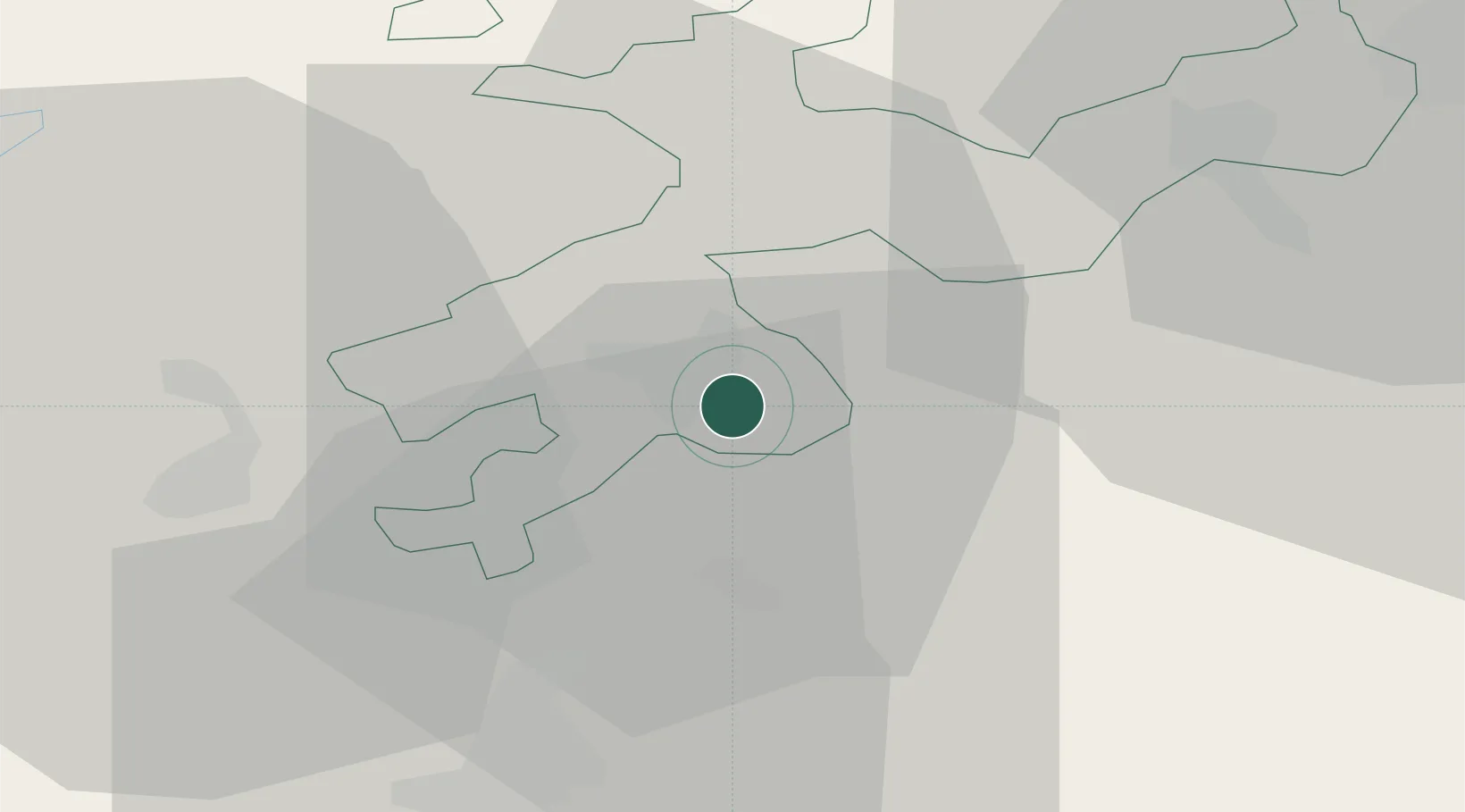
Kriegstetten
47.1833°, 7.6000°
1,116
Population
2
Transport functions
Transport Functions
Rail
Road
Hub Profile
Place type
Populated place
Region
Solothurn
Population
1,116
Time zone
Europe/Zurich
Elevation
455 m
Location
Nearby Logistics Neighbours
Cities
- 1Subingen2 km
- 2Biberist3 km
- 3Derendingen3 km
- 4Obergerlafingen3 km
- 5Luterbach4 km
Ports
- 1Genova326 km
- 2Savona326 km
- 3Rada Di Vado331 km
- 4Chiavari - Lavagna347 km
- 5Imperia369 km
Airports
- 1Grenchen Airfield14 km
- 2Bern Airport31 km
- 3EuroAirport Basel–Mulhouse–Freiburg47 km
- 4Emmen Air Base54 km
- 5Alpnach Air Base58 km
Trade Zones
- 1ZFU Mulhouse66 km
- 2ZFU Montbéliard71 km
- 3ZFU Belfort79 km
- 4PESA - Port-Franc et Entrepôts de Lausanne-Chavornay SA95 km
- 5Port Franc Vevey112 km
DatabookThe Record of Consolidated Knowledge
Switzerland beyond logistics?